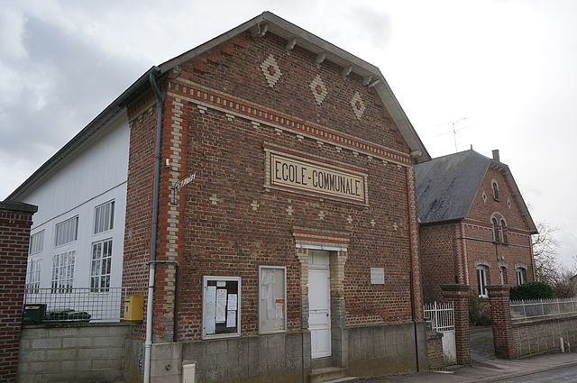
Mortiers (Mortiers)
- commune in Aisne, France
- Country:

- Postal Code: 02270
- Coordinates: 49° 41' 14" N, 3° 40' 5" E


- GPS tracks (wikiloc): [Link]
- Area: 6.39 sq km
- Population: 192
- Wikipedia en: wiki(en)
- Wikipedia: wiki(fr)
- Wikidata storage: Wikidata: Q1020372
- Wikipedia Commons Category: [Link]
- Freebase ID: [/m/03m4g58]
- Freebase ID: [/m/03m4g58]
- GeoNames ID: Alt: [6425089]
- GeoNames ID: Alt: [6425089]
- SIREN number: [210205068]
- SIREN number: [210205068]
- INSEE municipality code: 02529
- INSEE municipality code: 02529
Shares border with regions:

Barenton-sur-Serre
- commune in Aisne, France
- Country:
- Postal Code: 02270
- Coordinates: 49° 40' 17" N, 3° 40' 49" E
- GPS tracks (wikiloc): [Link]
- Area: 8.05 sq km
- Population: 126

Crécy-sur-Serre
- commune in Aisne, France
- Country:
- Postal Code: 02270
- Coordinates: 49° 41' 49" N, 3° 37' 21" E
- GPS tracks (wikiloc): [Link]
- Area: 17.9 sq km
- Population: 1494

Chalandry
- commune in Aisne, France
- Country:
- Postal Code: 02270
- Coordinates: 49° 40' 37" N, 3° 38' 33" E
- GPS tracks (wikiloc): [Link]
- Area: 7.66 sq km
- Population: 247
Bois-lès-Pargny
- commune in Aisne, France
- Country:
- Postal Code: 02270
- Coordinates: 49° 43' 53" N, 3° 39' 2" E
- GPS tracks (wikiloc): [Link]
- Area: 10.32 sq km
- Population: 200

Dercy
- commune in Aisne, France
- Country:
- Postal Code: 02270
- Coordinates: 49° 42' 13" N, 3° 41' 6" E
- GPS tracks (wikiloc): [Link]
- Area: 11.17 sq km
- Population: 389