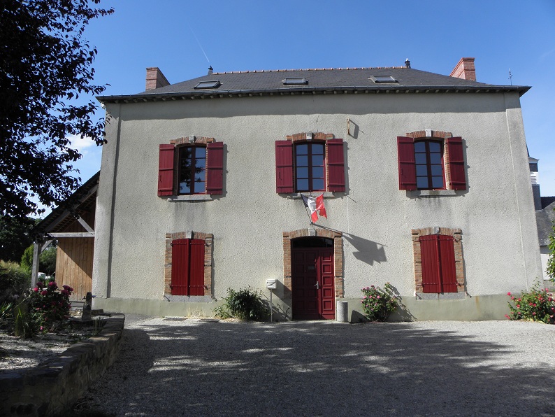
Mouazé (Mouazé)

- commune in Ille-et-Vilaine, France
- Country:

- Postal Code: 35250
- Coordinates: 48° 13' 54" N, 1° 36' 35" E


- GPS tracks (wikiloc): [Link]
- Area: 8.39 sq km
- Population: 1395
- Web site: http://www.mouaze.fr
- Wikipedia en: wiki(en)
- Wikipedia: wiki(fr)
- Wikidata storage: Wikidata: Q1070923
- Wikipedia Commons Category: [Link]
- Freebase ID: [/m/03m9pmr]
- Freebase ID: [/m/03m9pmr]
- Freebase ID: [/m/03m9pmr]
- GeoNames ID: Alt: [6432770]
- GeoNames ID: Alt: [6432770]
- GeoNames ID: Alt: [6432770]
- SIREN number: [213501976]
- SIREN number: [213501976]
- SIREN number: [213501976]
- BnF ID: [15257140f]
- BnF ID: [15257140f]
- BnF ID: [15257140f]
- OSM relation ID: [139681]
- OSM relation ID: [139681]
- OSM relation ID: [139681]
- INSEE municipality code: 35197
- INSEE municipality code: 35197
- INSEE municipality code: 35197
Shares border with regions:


Chevaigné
- commune in Ille-et-Vilaine, France
- Country:
- Postal Code: 35250
- Coordinates: 48° 12' 43" N, 1° 37' 47" E
- GPS tracks (wikiloc): [Link]
- Area: 10.33 sq km
- Population: 2126
- Web site: [Link]


Saint-Aubin-d'Aubigné
- commune in Ille-et-Vilaine, France
- Country:
- Postal Code: 35250
- Coordinates: 48° 15' 44" N, 1° 36' 22" E
- GPS tracks (wikiloc): [Link]
- Area: 23.52 sq km
- Population: 3585
- Web site: [Link]
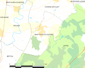
Saint-Sulpice-la-Forêt
- commune in Ille-et-Vilaine, France
- Country:
- Postal Code: 35250
- Coordinates: 48° 13' 5" N, 1° 34' 46" E
- GPS tracks (wikiloc): [Link]
- Area: 6.72 sq km
- Population: 1339
- Web site: [Link]


Betton
- commune in Ille-et-Vilaine, France
- Country:
- Postal Code: 35830
- Coordinates: 48° 10' 57" N, 1° 38' 38" E
- GPS tracks (wikiloc): [Link]
- Area: 26.73 sq km
- Population: 10879
- Web site: [Link]


Chasné-sur-Illet
- commune in Ille-et-Vilaine, France
- Country:
- Postal Code: 35250
- Coordinates: 48° 14' 14" N, 1° 33' 54" E
- GPS tracks (wikiloc): [Link]
- Area: 9.47 sq km
- Population: 1515
- Web site: [Link]