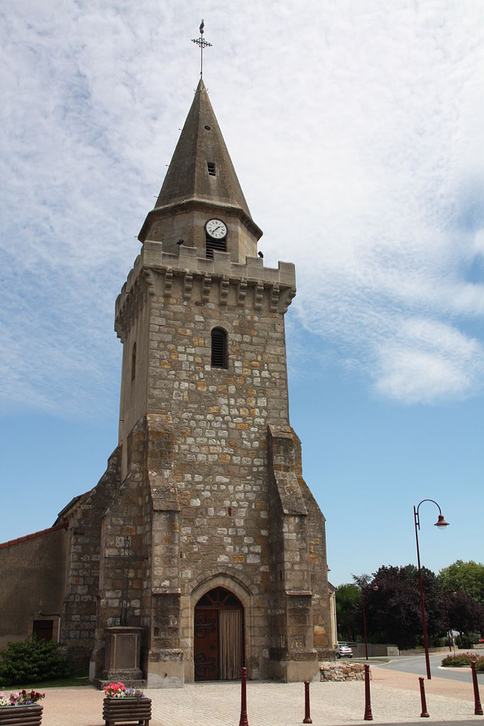
Néris-les-Bains (Néris-les-Bains)
- commune in Allier, France
- Country:

- Postal Code: 03310
- Coordinates: 46° 17' 16" N, 2° 39' 41" E


- GPS tracks (wikiloc): [Link]
- Area: 33.13 sq km
- Population: 2654
- Web site: http://www.ville-neris-les-bains.fr
- Wikipedia en: wiki(en)
- Wikipedia: wiki(fr)
- Wikidata storage: Wikidata: Q467294
- Wikipedia Commons Category: [Link]
- Freebase ID: [/m/03m7tjc]
- Freebase ID: [/m/03m7tjc]
- GeoNames ID: Alt: [2990767]
- GeoNames ID: Alt: [2990767]
- SIREN number: [210301958]
- SIREN number: [210301958]
- BnF ID: [131154008]
- BnF ID: [131154008]
- VIAF ID: Alt: [144300129]
- VIAF ID: Alt: [144300129]
- archINFORM location ID: [46147]
- archINFORM location ID: [46147]
- Library of Congress authority ID: Alt: [n84179539]
- Library of Congress authority ID: Alt: [n84179539]
- PACTOLS thesaurus ID: [pcrtOxGQ19vqoO]
- PACTOLS thesaurus ID: [pcrtOxGQ19vqoO]
- WOEID: [614004]
- WOEID: [614004]
- Digital Atlas of the Roman Empire ID: [2237]
- Digital Atlas of the Roman Empire ID: [2237]
- INSEE municipality code: 03195
- INSEE municipality code: 03195
Shares border with regions:

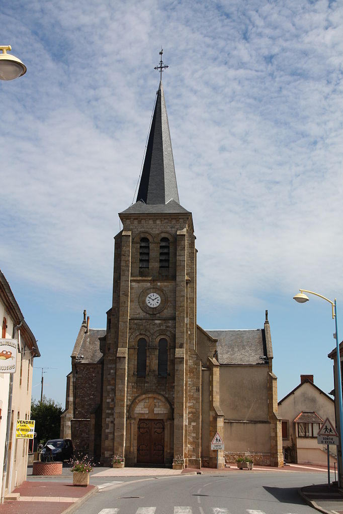
Montluçon
- commune in Allier, France
- Country:
- Postal Code: 03100
- Coordinates: 46° 20' 24" N, 2° 36' 9" E
- GPS tracks (wikiloc): [Link]
- AboveSeaLevel: 207 м m
- Area: 20.67 sq km
- Population: 36946
- Web site: [Link]
Chamblet
- commune in Allier, France
- Country:
- Postal Code: 03170
- Coordinates: 46° 19' 58" N, 2° 42' 9" E
- GPS tracks (wikiloc): [Link]
- Area: 20.5 sq km
- Population: 1097

Commentry
- commune in Allier, France
- Country:
- Postal Code: 03600
- Coordinates: 46° 17' 20" N, 2° 44' 30" E
- GPS tracks (wikiloc): [Link]
- Area: 20.96 sq km
- Population: 6329
- Web site: [Link]
Saint-Angel
- commune in Allier, France
- Country:
- Postal Code: 03170
- Coordinates: 46° 21' 27" N, 2° 41' 51" E
- GPS tracks (wikiloc): [Link]
- AboveSeaLevel: 360 м m
- Area: 25.27 sq km
- Population: 747

Lavault-Sainte-Anne
- commune in Allier, France
- Country:
- Postal Code: 03310
- Coordinates: 46° 18' 36" N, 2° 36' 1" E
- GPS tracks (wikiloc): [Link]
- Area: 9.08 sq km
- Population: 1154
- Web site: [Link]

Malicorne
- commune in Allier, France
- Country:
- Postal Code: 03600
- Coordinates: 46° 18' 6" N, 2° 46' 56" E
- GPS tracks (wikiloc): [Link]
- Area: 11.84 sq km
- Population: 811
Durdat-Larequille
- commune in Allier, France
- Country:
- Postal Code: 03310
- Coordinates: 46° 15' 7" N, 2° 42' 6" E
- GPS tracks (wikiloc): [Link]
- Area: 24.45 sq km
- Population: 1336
Villebret
- commune in Allier, France
- Country:
- Postal Code: 03310
- Coordinates: 46° 16' 1" N, 2° 38' 19" E
- GPS tracks (wikiloc): [Link]
- Area: 15.34 sq km
- Population: 1323