Neuville-les-Dames (Neuville-les-Dames)
- commune in Ain, France
- Country:

- Postal Code: 01400
- Coordinates: 46° 9' 44" N, 5° 0' 13" E


- GPS tracks (wikiloc): [Link]
- Area: 26.59 sq km
- Population: 1500
- Web site: http://www.neuvillelesdames.fr
- Wikipedia en: wiki(en)
- Wikipedia: wiki(fr)
- Wikidata storage: Wikidata: Q540001
- Wikipedia Commons Category: [Link]
- Wikipedia Commons Maps Category: [Link]
- Freebase ID: [/m/08172w]
- Freebase ID: [/m/08172w]
- GeoNames ID: Alt: [6424607]
- GeoNames ID: Alt: [6424607]
- SIREN number: [210102729]
- SIREN number: [210102729]
- VIAF ID: Alt: [236148481]
- VIAF ID: Alt: [236148481]
- INSEE municipality code: 01272
- INSEE municipality code: 01272
Shares border with regions:

Châtillon-sur-Chalaronne
- commune in Ain, France
- Country:
- Postal Code: 01400
- Coordinates: 46° 7' 11" N, 4° 57' 25" E
- GPS tracks (wikiloc): [Link]
- Area: 17.98 sq km
- Population: 4914
- Web site: [Link]

Vonnas
- commune in Ain, France
- Country:
- Postal Code: 01540
- Coordinates: 46° 13' 9" N, 4° 59' 27" E
- GPS tracks (wikiloc): [Link]
- AboveSeaLevel: 190 м m
- Area: 17.81 sq km
- Population: 2926
- Web site: [Link]

Condeissiat
- commune in Ain, France
- Country:
- Postal Code: 01400
- Coordinates: 46° 9' 30" N, 5° 4' 48" E
- GPS tracks (wikiloc): [Link]
- Area: 21.64 sq km
- Population: 830
- Web site: [Link]

Romans
- commune in Ain, France
- Country:
- Postal Code: 01400
- Coordinates: 46° 7' 18" N, 5° 1' 16" E
- GPS tracks (wikiloc): [Link]
- Area: 22.32 sq km
- Population: 597
- Web site: [Link]
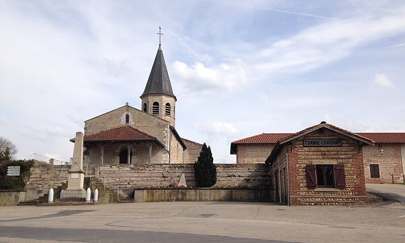
Chanoz-Châtenay
- commune in Ain, France
- Country:
- Postal Code: 01400
- Coordinates: 46° 11' 3" N, 5° 1' 48" E
- GPS tracks (wikiloc): [Link]
- Area: 13.42 sq km
- Population: 804
Sulignat
- commune in Ain, France
- Country:
- Postal Code: 01400
- Coordinates: 46° 10' 38" N, 4° 57' 47" E
- GPS tracks (wikiloc): [Link]
- Area: 10.8 sq km
- Population: 568
- Web site: [Link]