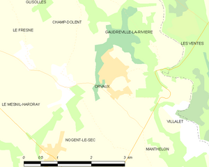
Nogent-le-Sec (Nogent-le-Sec)

- commune in Eure, France
- Country:

- Postal Code: 27190
- Coordinates: 48° 55' 18" N, 1° 0' 10" E


- GPS tracks (wikiloc): [Link]
- Area: 10.11 sq km
- Population: 411
- Wikipedia en: wiki(en)
- Wikipedia: wiki(fr)
- Wikidata storage: Wikidata: Q1073422
- Wikipedia Commons Category: [Link]
- Freebase ID: [/m/03nqkmx]
- Freebase ID: [/m/03nqkmx]
- GeoNames ID: Alt: [6430511]
- GeoNames ID: Alt: [6430511]
- SIREN number: [212704365]
- SIREN number: [212704365]
- BnF ID: [152536714]
- BnF ID: [152536714]
- PACTOLS thesaurus ID: [pcrtDtNgiZ2R69]
- PACTOLS thesaurus ID: [pcrtDtNgiZ2R69]
- INSEE municipality code: 27436
- INSEE municipality code: 27436
Shares border with regions:


Les Essarts
- former commune in Eure, France
- Country:
- Postal Code: 27240
- Coordinates: 48° 52' 54" N, 0° 59' 7" E
- GPS tracks (wikiloc): [Link]
- AboveSeaLevel: 172 м m
- Area: 15.18 sq km
- Population: 468


Nagel-Séez-Mesnil
- commune in Eure, France
- Country:
- Postal Code: 27190
- Coordinates: 48° 55' 25" N, 0° 56' 9" E
- GPS tracks (wikiloc): [Link]
- Area: 11.72 sq km
- Population: 327
Manthelon
- former commune in Eure, France
- Country:
- Postal Code: 27240
- Coordinates: 48° 54' 41" N, 1° 2' 50" E
- GPS tracks (wikiloc): [Link]
- Area: 14.55 sq km
- Population: 354
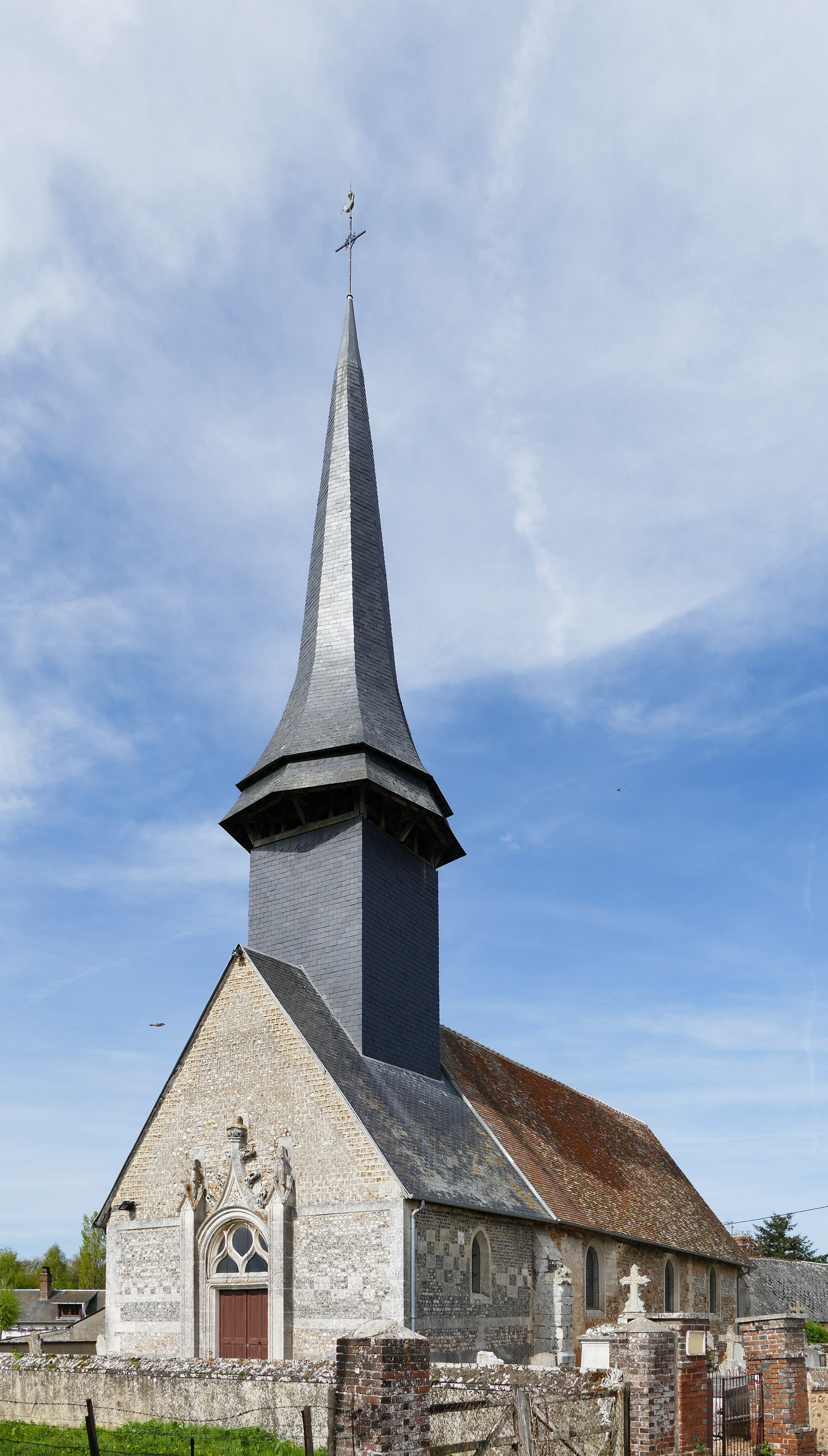
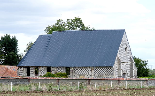
Orvaux
- former commune in Eure, France
- Country:
- Postal Code: 27190
- Coordinates: 48° 56' 21" N, 1° 2' 0" E
- GPS tracks (wikiloc): [Link]
- Area: 6.2 sq km
- Population: 530

Le Mesnil-Hardray
- former commune in Eure, France
- Country:
- Postal Code: 27190
- Coordinates: 48° 56' 10" N, 0° 59' 23" E
- GPS tracks (wikiloc): [Link]
- Area: 4.84 sq km
- Population: 69