Normandel (Normandel)

- commune in Orne, France
- Country:

- Postal Code: 61190
- Coordinates: 48° 38' 47" N, 0° 42' 49" E


- GPS tracks (wikiloc): [Link]
- Area: 7.43 sq km
- Population: 96
- Wikipedia en: wiki(en)
- Wikipedia: wiki(fr)
- Wikidata storage: Wikidata: Q1347520
- Wikipedia Commons Category: [Link]
- Freebase ID: [/m/03qgq9q]
- Freebase ID: [/m/03qgq9q]
- GeoNames ID: Alt: [6439192]
- GeoNames ID: Alt: [6439192]
- SIREN number: [216103119]
- SIREN number: [216103119]
- BnF ID: [152682436]
- BnF ID: [152682436]
- INSEE municipality code: 61311
- INSEE municipality code: 61311
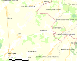
Shares border with regions:


La Poterie-au-Perche
- former commune in Orne, France
- Country:
- Postal Code: 61190
- Coordinates: 48° 37' 40" N, 0° 43' 15" E
- GPS tracks (wikiloc): [Link]
- Area: 7.88 sq km
- Population: 142

Beaulieu
- commune in Orne, France
- Country:
- Postal Code: 61190
- Coordinates: 48° 40' 49" N, 0° 44' 38" E
- GPS tracks (wikiloc): [Link]
- Area: 18.06 sq km
- Population: 210


Randonnai
- former commune in Orne, France
- Country:
- Postal Code: 61190
- Coordinates: 48° 39' 0" N, 0° 40' 31" E
- GPS tracks (wikiloc): [Link]
- Area: 11.22 sq km
- Population: 767


Saint-Maurice-lès-Charencey
- commune in Orne, France
- Country:
- Postal Code: 61190
- Coordinates: 48° 39' 0" N, 0° 45' 29" E
- GPS tracks (wikiloc): [Link]
- Area: 16.19 sq km
- Population: 498