Oussoy-en-Gâtinais (Oussoy-en-Gâtinais)

- commune in Loiret, France
- Country:

- Postal Code: 45290
- Coordinates: 47° 54' 24" N, 2° 38' 29" E


- GPS tracks (wikiloc): [Link]
- Area: 23.23 sq km
- Population: 412
- Wikipedia en: wiki(en)
- Wikipedia: wiki(fr)
- Wikidata storage: Wikidata: Q1381095
- Wikipedia Commons Category: [Link]
- Freebase ID: [/m/03nwhsx]
- GeoNames ID: Alt: [6434678]
- SIREN number: [214502395]
- BnF ID: [15260631c]
- INSEE municipality code: 45239
Shares border with regions:


Varennes-Changy
- commune in Loiret, France
- Country:
- Postal Code: 45290
- Coordinates: 47° 51' 56" N, 2° 39' 40" E
- GPS tracks (wikiloc): [Link]
- Area: 29.77 sq km
- Population: 1496
- Web site: [Link]
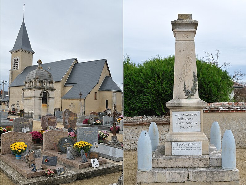

Thimory
- commune in Loiret, France
- Country:
- Postal Code: 45260
- Coordinates: 47° 55' 18" N, 2° 36' 1" E
- GPS tracks (wikiloc): [Link]
- Area: 12.37 sq km
- Population: 738


La Cour-Marigny
- commune in Loiret, France
- Country:
- Postal Code: 45260
- Coordinates: 47° 53' 32" N, 2° 35' 42" E
- GPS tracks (wikiloc): [Link]
- Area: 13.43 sq km
- Population: 338


Montereau
- commune in Loiret, France
- Country:
- Postal Code: 45260
- Coordinates: 47° 51' 23" N, 2° 34' 21" E
- GPS tracks (wikiloc): [Link]
- Area: 50.12 sq km
- Population: 606


Vimory
- commune in Loiret, France
- Country:
- Postal Code: 45700
- Coordinates: 47° 56' 50" N, 2° 41' 14" E
- GPS tracks (wikiloc): [Link]
- Area: 26.22 sq km
- Population: 1190
- Web site: [Link]


Saint-Hilaire-sur-Puiseaux
- commune in Loiret, France
- Country:
- Postal Code: 45700
- Coordinates: 47° 54' 6" N, 2° 42' 19" E
- GPS tracks (wikiloc): [Link]
- Area: 11.34 sq km
- Population: 170


Lombreuil
- commune in Loiret, France
- Country:
- Postal Code: 45700
- Coordinates: 47° 56' 27" N, 2° 37' 52" E
- GPS tracks (wikiloc): [Link]
- Area: 7.56 sq km
- Population: 299