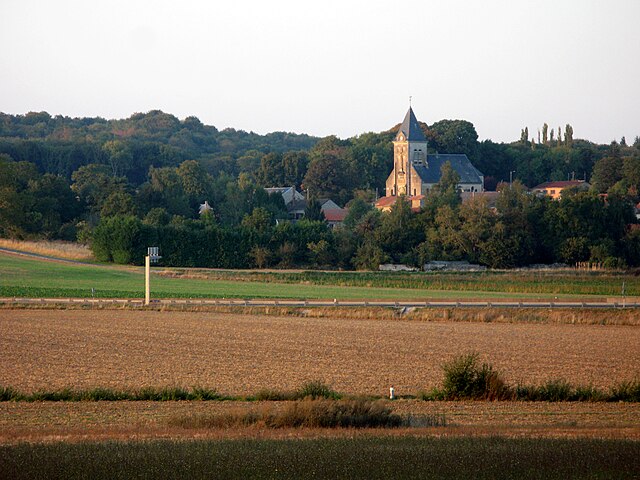
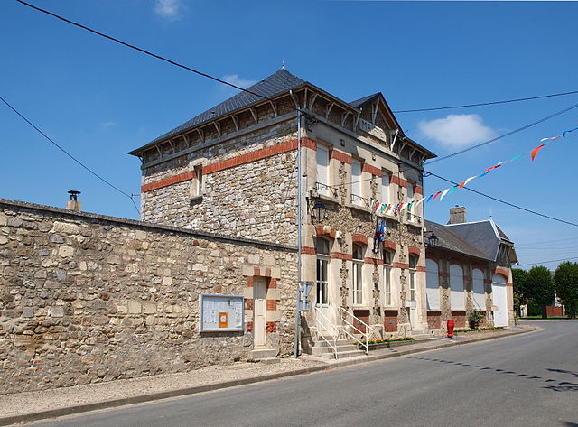
Parcy-et-Tigny (Parcy-et-Tigny)
- commune in Aisne, France
- Country:

- Postal Code: 02210
- Coordinates: 49° 16' 43" N, 3° 20' 6" E


- GPS tracks (wikiloc): [Link]
- Area: 10.59 sq km
- Population: 253
- Wikipedia en: wiki(en)
- Wikipedia: wiki(fr)
- Wikidata storage: Wikidata: Q869519
- Wikipedia Commons Category: [Link]
- Freebase ID: [/m/03m7p5s]
- Freebase ID: [/m/03m7p5s]
- GeoNames ID: Alt: [6615674]
- GeoNames ID: Alt: [6615674]
- SIREN number: [210205621]
- SIREN number: [210205621]
- PACTOLS thesaurus ID: [pcrtFZfs2L9atr]
- PACTOLS thesaurus ID: [pcrtFZfs2L9atr]
- INSEE municipality code: 02585
- INSEE municipality code: 02585
Shares border with regions:

Villemontoire
- commune in Aisne, France
- Country:
- Postal Code: 02210
- Coordinates: 49° 17' 57" N, 3° 19' 58" E
- GPS tracks (wikiloc): [Link]
- Area: 7.65 sq km
- Population: 191
Hartennes-et-Taux
- commune in Aisne, France
- Country:
- Postal Code: 02210
- Coordinates: 49° 16' 18" N, 3° 21' 11" E
- GPS tracks (wikiloc): [Link]
- Area: 6.31 sq km
- Population: 396

Saint-Rémy-Blanzy
- commune in Aisne, France
- Country:
- Postal Code: 02210
- Coordinates: 49° 14' 28" N, 3° 18' 35" E
- GPS tracks (wikiloc): [Link]
- Area: 13.99 sq km
- Population: 211

Vierzy
- commune in Aisne, France
- Country:
- Postal Code: 02210
- Coordinates: 49° 17' 24" N, 3° 17' 7" E
- GPS tracks (wikiloc): [Link]
- Area: 12.73 sq km
- Population: 448

Le Plessier-Huleu
- commune in Aisne, France
- Country:
- Postal Code: 02210
- Coordinates: 49° 14' 19" N, 3° 20' 41" E
- GPS tracks (wikiloc): [Link]
- Area: 5.2 sq km
- Population: 73
Grand-Rozoy
- commune in Aisne, France
- Country:
- Postal Code: 02210
- Coordinates: 49° 14' 4" N, 3° 23' 6" E
- GPS tracks (wikiloc): [Link]
- Area: 12.45 sq km
- Population: 310