Paulhiac (Paulhiac)

- commune in Lot-et-Garonne, France
- Country:

- Postal Code: 47150
- Coordinates: 44° 33' 41" N, 0° 49' 10" E


- GPS tracks (wikiloc): [Link]
- Area: 21.89 sq km
- Population: 305
- Wikipedia en: wiki(en)
- Wikipedia: wiki(fr)
- Wikidata storage: Wikidata: Q210679
- Wikipedia Commons Category: [Link]
- Freebase ID: [/m/03qm2b7]
- GeoNames ID: Alt: [6613952]
- SIREN number: [214702029]
- BnF ID: [15261283r]
- INSEE municipality code: 47202
Shares border with regions:


Gavaudun
- commune in Lot-et-Garonne, France
- Country:
- Postal Code: 47150
- Coordinates: 44° 33' 37" N, 0° 53' 15" E
- GPS tracks (wikiloc): [Link]
- Area: 21.33 sq km
- Population: 283
Dévillac
- commune in Lot-et-Garonne, France
- Country:
- Postal Code: 47210
- Coordinates: 44° 36' 18" N, 0° 48' 16" E
- GPS tracks (wikiloc): [Link]
- Area: 9.25 sq km
- Population: 132


Laussou
- commune in Lot-et-Garonne, France
- Country:
- Postal Code: 47150
- Coordinates: 44° 33' 34" N, 0° 47' 11" E
- GPS tracks (wikiloc): [Link]
- Area: 17.15 sq km
- Population: 300

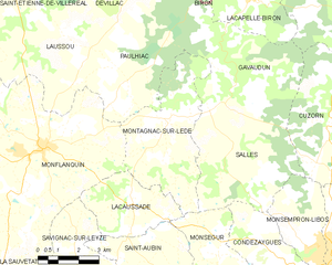
Montagnac-sur-Lède
- commune in Lot-et-Garonne, France
- Country:
- Postal Code: 47150
- Coordinates: 44° 32' 30" N, 0° 50' 39" E
- GPS tracks (wikiloc): [Link]
- Area: 19.55 sq km
- Population: 258

Vergt-de-Biron
- commune in Dordogne, France
- Country:
- Postal Code: 24540
- Coordinates: 44° 37' 59" N, 0° 50' 29" E
- GPS tracks (wikiloc): [Link]
- Area: 16.17 sq km
- Population: 193

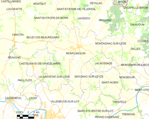
Monflanquin
- commune in Lot-et-Garonne, France
- Country:
- Postal Code: 47150
- Coordinates: 44° 31' 55" N, 0° 46' 4" E
- GPS tracks (wikiloc): [Link]
- Area: 62.21 sq km
- Population: 2315
- Web site: [Link]