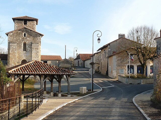
Petit-Bersac (Petit-Bersac)

- commune in Dordogne, France
- Country:

- Postal Code: 24600
- Coordinates: 45° 17' 17" N, 0° 13' 55" E


- GPS tracks (wikiloc): [Link]
- Area: 10.83 sq km
- Population: 178
- Web site: http://www.petit-bersac.fr/
- Wikipedia en: wiki(en)
- Wikipedia: wiki(fr)
- Wikidata storage: Wikidata: Q180525
- Wikipedia Commons Category: [Link]
- Freebase ID: [/m/02rj84r]
- Freebase ID: [/m/02rj84r]
- GeoNames ID: Alt: [2987767]
- GeoNames ID: Alt: [2987767]
- SIREN number: [212403232]
- SIREN number: [212403232]
- BnF ID: [15251969x]
- BnF ID: [15251969x]
- VIAF ID: Alt: [152424352]
- VIAF ID: Alt: [152424352]
- OSM relation ID: [1702679]
- OSM relation ID: [1702679]
- PACTOLS thesaurus ID: [pcrtZe0ter7mVf]
- PACTOLS thesaurus ID: [pcrtZe0ter7mVf]
- INSEE municipality code: 24323
- INSEE municipality code: 24323
Shares border with regions:

Chassaignes
- commune in Dordogne, France
- Country:
- Postal Code: 24600
- Coordinates: 45° 15' 9" N, 0° 15' 10" E
- GPS tracks (wikiloc): [Link]
- Area: 5.79 sq km
- Population: 69


Festalemps
- former commune in Dordogne, France
- Country:
- Postal Code: 24410
- Coordinates: 45° 13' 35" N, 0° 14' 26" E
- GPS tracks (wikiloc): [Link]
- Area: 12.27 sq km
- Population: 260


Nabinaud
- commune in Charente, France
- Country:
- Postal Code: 16390
- Coordinates: 45° 17' 10" N, 0° 12' 14" E
- GPS tracks (wikiloc): [Link]
- Area: 5.88 sq km
- Population: 97


Saint-Séverin
- commune in Charente, France
- Country:
- Postal Code: 16390
- Coordinates: 45° 18' 47" N, 0° 15' 13" E
- GPS tracks (wikiloc): [Link]
- Area: 14.93 sq km
- Population: 733


Bourg-du-Bost
- commune in Dordogne, France
- Country:
- Postal Code: 24600
- Coordinates: 45° 16' 16" N, 0° 15' 26" E
- GPS tracks (wikiloc): [Link]
- Area: 7.16 sq km
- Population: 233
- Web site: [Link]


Laprade
- commune in Charente, France
- Country:
- Postal Code: 16390
- Coordinates: 45° 16' 39" N, 0° 11' 4" E
- GPS tracks (wikiloc): [Link]
- Area: 10.17 sq km
- Population: 242