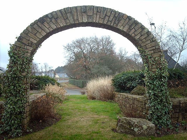
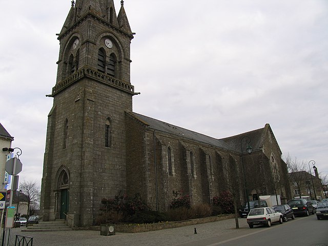
Plescop (Plescop)

- commune in Morbihan, France
- Country:

- Postal Code: 56890
- Coordinates: 47° 41' 56" N, 2° 48' 22" E


- GPS tracks (wikiloc): [Link]
- Area: 23.35 sq km
- Population: 5638
- Web site: http://www.plescop.fr
- Wikipedia en: wiki(en)
- Wikipedia: wiki(fr)
- Wikidata storage: Wikidata: Q128025
- Wikipedia Commons Category: [Link]
- Freebase ID: [/m/03c7fdg]
- GeoNames ID: Alt: [6437331]
- SIREN number: [215601584]
- BnF ID: [152654075]
- INSEE municipality code: 56158
Shares border with regions:


Saint-Avé
- commune in Morbihan, Brittany
- Country:
- Postal Code: 56890
- Coordinates: 47° 41' 12" N, 2° 44' 4" E
- GPS tracks (wikiloc): [Link]
- Area: 26.09 sq km
- Population: 11095
- Web site: [Link]


Plougoumelen
- commune in Morbihan, France
- Country:
- Postal Code: 56400
- Coordinates: 47° 39' 9" N, 2° 55' 1" E
- GPS tracks (wikiloc): [Link]
- Area: 21.3 sq km
- Population: 2471
- Web site: [Link]
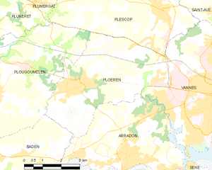
Ploeren
- commune in Morbihan, France
- Country:
- Postal Code: 56880
- Coordinates: 47° 39' 22" N, 2° 52' 0" E
- GPS tracks (wikiloc): [Link]
- Area: 20.44 sq km
- Population: 6611
- Web site: [Link]


Pluneret
- commune in Morbihan, France
- Country:
- Postal Code: 56400
- Coordinates: 47° 40' 32" N, 2° 57' 27" E
- GPS tracks (wikiloc): [Link]
- Area: 26.2 sq km
- Population: 5473
- Web site: [Link]


Plumergat
- commune in Morbihan, France
- Country:
- Postal Code: 56400
- Coordinates: 47° 44' 31" N, 2° 55' 2" E
- GPS tracks (wikiloc): [Link]
- Area: 41.94 sq km
- Population: 4028
- Web site: [Link]


Vannes
- commune in Morbihan, France
- Country:
- Postal Code: 56000
- Coordinates: 47° 39' 18" N, 2° 45' 42" E
- GPS tracks (wikiloc): [Link]
- Area: 32.3 sq km
- Population: 53200
- Web site: [Link]

Grand-Champ
- commune in Morbihan, France
- Country:
- Postal Code: 56390
- Coordinates: 47° 45' 31" N, 2° 50' 40" E
- GPS tracks (wikiloc): [Link]
- Area: 67.34 sq km
- Population: 5295
- Web site: [Link]


Meucon
- commune in Morbihan, France
- Country:
- Postal Code: 56890
- Coordinates: 47° 43' 1" N, 2° 45' 51" E
- GPS tracks (wikiloc): [Link]
- Area: 5.73 sq km
- Population: 2251
- Web site: [Link]