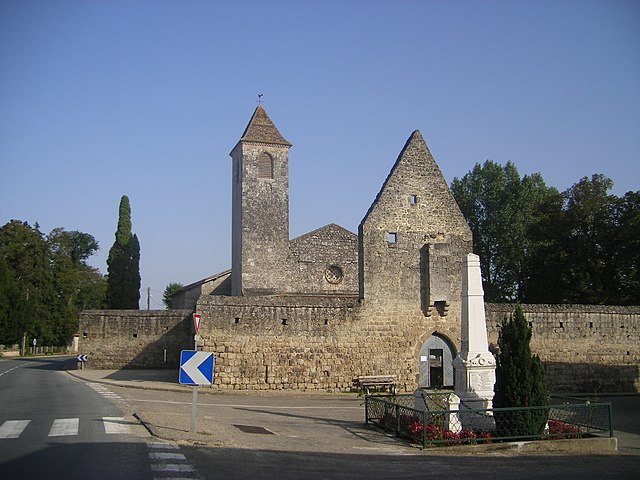
Pompogne (Pompogne)

- commune in Lot-et-Garonne, France
- Country:

- Postal Code: 47420
- Coordinates: 44° 15' 21" N, 0° 3' 6" E


- GPS tracks (wikiloc): [Link]
- Area: 35.96 sq km
- Population: 214
- Web site: http://www.pompogne.com/
- Wikipedia en: wiki(en)
- Wikipedia: wiki(fr)
- Wikidata storage: Wikidata: Q227149
- Wikipedia Commons Category: [Link]
- Freebase ID: [/m/03qm2dn]
- GeoNames ID: Alt: [6435032]
- SIREN number: [214702086]
- BnF ID: [15261289t]
- INSEE municipality code: 47208
Shares border with regions:


Pindères
- commune in Lot-et-Garonne, France
- Country:
- Postal Code: 47700
- Coordinates: 44° 16' 21" N, 0° 1' 35" E
- GPS tracks (wikiloc): [Link]
- Area: 40.76 sq km
- Population: 217


Sauméjan
- commune in Lot-et-Garonne, France
- Country:
- Postal Code: 47420
- Coordinates: 44° 14' 12" N, 0° 0' 14" E
- GPS tracks (wikiloc): [Link]
- AboveSeaLevel: 120 м m
- Area: 19.5 sq km
- Population: 95


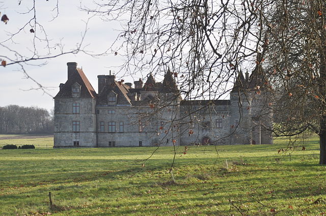
Casteljaloux
- commune in Lot-et-Garonne, France
- Country:
- Postal Code: 47700
- Coordinates: 44° 18' 52" N, 0° 5' 17" E
- GPS tracks (wikiloc): [Link]
- Area: 30.59 sq km
- Population: 4659
- Web site: [Link]

Fargues-sur-Ourbise
- commune in Lot-et-Garonne, France
- Country:
- Postal Code: 47700
- Coordinates: 44° 14' 23" N, 0° 9' 18" E
- GPS tracks (wikiloc): [Link]
- Area: 44.16 sq km
- Population: 346
- Web site: [Link]


Houeillès
- commune in Lot-et-Garonne, France
- Country:
- Postal Code: 47420
- Coordinates: 44° 11' 50" N, 0° 2' 2" E
- GPS tracks (wikiloc): [Link]
- Area: 67.63 sq km
- Population: 577
- Web site: [Link]

La Réunion
- commune in Lot-et-Garonne, France
- Country:
- Postal Code: 47700
- Coordinates: 44° 17' 51" N, 0° 7' 4" E
- GPS tracks (wikiloc): [Link]
- AboveSeaLevel: 100 м m
- Area: 28.06 sq km
- Population: 488