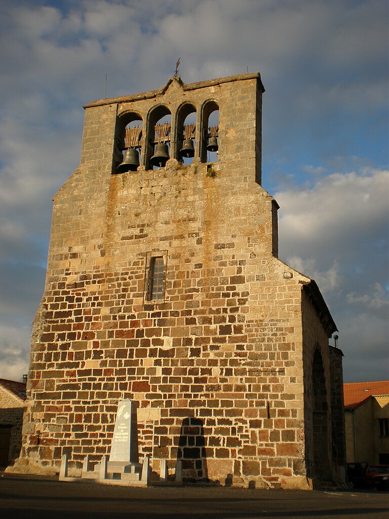
Pradelles (Pradelles)

- commune in Haute-Loire, France
- Country:

- Postal Code: 43420
- Coordinates: 44° 46' 10" N, 3° 52' 56" E


- GPS tracks (wikiloc): [Link]
- Area: 17.48 sq km
- Population: 558
- Web site: http://www.pradelles-43.com
- Wikipedia en: wiki(en)
- Wikipedia: wiki(fr)
- Wikidata storage: Wikidata: Q638239
- Wikipedia Commons Category: [Link]
- Freebase ID: [/m/03ntnl9]
- GeoNames ID: Alt: [6616795]
- SIREN number: [214301541]
- BnF ID: [15260058r]
- INSEE municipality code: 43154
Shares border with regions:


Langogne
- commune in Lozère, France
- Country:
- Postal Code: 48300
- Coordinates: 44° 43' 36" N, 3° 51' 18" E
- GPS tracks (wikiloc): [Link]
- Area: 31.37 sq km
- Population: 2894
- Web site: [Link]


Saint-Paul-de-Tartas
- commune in Haute-Loire, France
- Country:
- Postal Code: 43420
- Coordinates: 44° 48' 13" N, 3° 54' 24" E
- GPS tracks (wikiloc): [Link]
- Area: 27.47 sq km
- Population: 209
- Web site: [Link]
Saint-Étienne-du-Vigan
- commune in Haute-Loire, France
- Country:
- Postal Code: 43420
- Coordinates: 44° 46' 48" N, 3° 50' 7" E
- GPS tracks (wikiloc): [Link]
- Area: 9.43 sq km
- Population: 100


Naussac
- former commune in Lozère, France
- Country:
- Postal Code: 48300
- Coordinates: 44° 43' 38" N, 3° 50' 19" E
- GPS tracks (wikiloc): [Link]
- Area: 13.52 sq km
- Population: 204
Lespéron
- commune in Ardèche, France
- Country:
- Postal Code: 07660
- Coordinates: 44° 43' 51" N, 3° 53' 52" E
- GPS tracks (wikiloc): [Link]
- Area: 24.99 sq km
- Population: 318


Fontanes
- former commune in Lozère, France
- Country:
- Postal Code: 48300
- Coordinates: 44° 46' 12" N, 3° 47' 7" E
- GPS tracks (wikiloc): [Link]
- Area: 11.28 sq km
- Population: 148