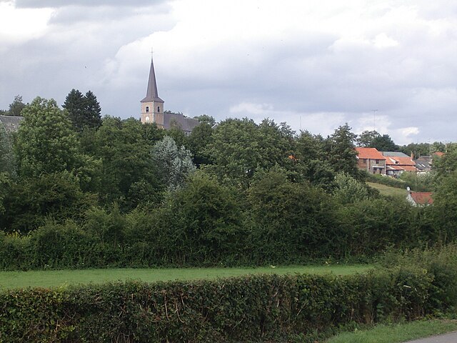
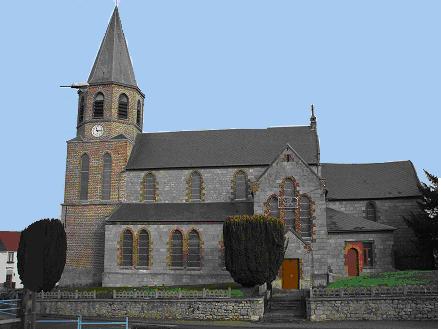
Quiévelon (Quiévelon)

- commune in Nord, France
- Country:

- Postal Code: 59680
- Coordinates: 50° 14' 12" N, 4° 4' 25" E


- GPS tracks (wikiloc): [Link]
- Area: 4.35 sq km
- Population: 133
- Wikipedia en: wiki(en)
- Wikipedia: wiki(fr)
- Wikidata storage: Wikidata: Q682239
- Wikipedia Commons Category: [Link]
- Freebase ID: [/m/03mgz99]
- GeoNames ID: Alt: [6438428]
- SIREN number: [215904830]
- BnF ID: [155993357]
- VIAF ID: Alt: [247427534]
- INSEE municipality code: 59483
Shares border with regions:


Aibes
- commune in Nord, France
- Country:
- Postal Code: 59149
- Coordinates: 50° 14' 11" N, 4° 5' 35" E
- GPS tracks (wikiloc): [Link]
- Area: 9.23 sq km
- Population: 379


Ferrière-la-Petite
- commune in Nord, France
- Country:
- Postal Code: 59680
- Coordinates: 50° 14' 24" N, 4° 1' 20" E
- GPS tracks (wikiloc): [Link]
- Area: 5.35 sq km
- Population: 1073
- Web site: [Link]

Obrechies
- commune in Nord, France
- Country:
- Postal Code: 59680
- Coordinates: 50° 13' 12" N, 4° 1' 33" E
- GPS tracks (wikiloc): [Link]
- Area: 5.45 sq km
- Population: 267

Colleret
- commune in Nord, France
- Country:
- Postal Code: 59680
- Coordinates: 50° 15' 24" N, 4° 4' 33" E
- GPS tracks (wikiloc): [Link]
- Area: 18.79 sq km
- Population: 1636