Rahay (Rahay)

- commune in Sarthe, France
- Country:

- Postal Code: 72120
- Coordinates: 47° 57' 40" N, 0° 49' 56" E


- GPS tracks (wikiloc): [Link]
- Area: 18.94 sq km
- Population: 190
- Wikipedia en: wiki(en)
- Wikipedia: wiki(fr)
- Wikidata storage: Wikidata: Q1225925
- Wikipedia Commons Category: [Link]
- Freebase ID: [/m/03qj0cy]
- GeoNames ID: Alt: [6442667]
- SIREN number: [217202506]
- BnF ID: [15273804z]
- INSEE municipality code: 72250
Shares border with regions:

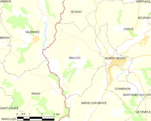
Baillou
- commune in Loir-et-Cher, France
- Country:
- Postal Code: 41170
- Coordinates: 47° 58' 5" N, 0° 50' 32" E
- GPS tracks (wikiloc): [Link]
- Area: 19.85 sq km
- Population: 252

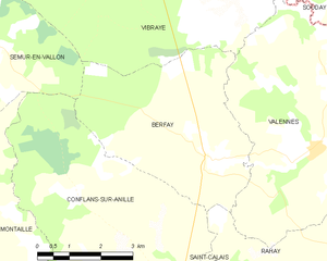
Berfay
- commune in Sarthe, France
- Country:
- Postal Code: 72320
- Coordinates: 47° 59' 38" N, 0° 45' 51" E
- GPS tracks (wikiloc): [Link]
- Area: 18.28 sq km
- Population: 337


Valennes
- commune in Sarthe, France
- Country:
- Postal Code: 72320
- Coordinates: 47° 59' 47" N, 0° 48' 34" E
- GPS tracks (wikiloc): [Link]
- Area: 26.7 sq km
- Population: 319


Marolles-lès-Saint-Calais
- commune in Sarthe, France
- Country:
- Postal Code: 72120
- Coordinates: 47° 55' 6" N, 0° 47' 4" E
- GPS tracks (wikiloc): [Link]
- Area: 12.15 sq km
- Population: 278


Conflans-sur-Anille
- commune in Sarthe, France
- Country:
- Postal Code: 72120
- Coordinates: 47° 56' 45" N, 0° 44' 44" E
- GPS tracks (wikiloc): [Link]
- Area: 30.8 sq km
- Population: 533
- Web site: [Link]

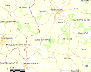
Sargé-sur-Braye
- commune in Loir-et-Cher, France
- Country:
- Postal Code: 41170
- Coordinates: 47° 55' 25" N, 0° 51' 11" E
- GPS tracks (wikiloc): [Link]
- Area: 42.61 sq km
- Population: 1054


Saint-Calais
- commune in Sarthe, France
- Country:
- Postal Code: 72120
- Coordinates: 47° 55' 13" N, 0° 44' 35" E
- GPS tracks (wikiloc): [Link]
- Area: 22.76 sq km
- Population: 3281
- Web site: [Link]