Relevant (Relevant)
- commune in Ain, France
- Country:

- Postal Code: 01990
- Coordinates: 46° 5' 25" N, 4° 56' 58" E


- GPS tracks (wikiloc): [Link]
- Area: 12.38 sq km
- Population: 464
- Wikipedia en: wiki(en)
- Wikipedia: wiki(fr)
- Wikidata storage: Wikidata: Q966793
- Wikipedia Commons Category: [Link]
- Wikipedia Commons Maps Category: [Link]
- Freebase ID: [/m/0blt5p]
- Freebase ID: [/m/0blt5p]
- Freebase ID: [/m/0blt5p]
- GeoNames ID: Alt: [6424641]
- GeoNames ID: Alt: [6424641]
- GeoNames ID: Alt: [6424641]
- SIREN number: [210103198]
- SIREN number: [210103198]
- SIREN number: [210103198]
- INSEE municipality code: 01319
- INSEE municipality code: 01319
- INSEE municipality code: 01319
Shares border with regions:

Châtillon-sur-Chalaronne
- commune in Ain, France
- Country:
- Postal Code: 01400
- Coordinates: 46° 7' 11" N, 4° 57' 25" E
- GPS tracks (wikiloc): [Link]
- Area: 17.98 sq km
- Population: 4914
- Web site: [Link]
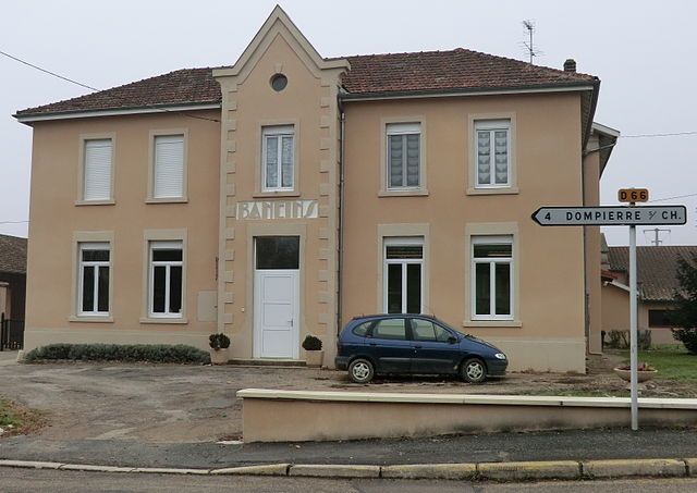
Baneins
- commune in Ain, France
- Country:
- Postal Code: 01990
- Coordinates: 46° 6' 36" N, 4° 54' 6" E
- GPS tracks (wikiloc): [Link]
- Area: 8.91 sq km
- Population: 597
- Web site: [Link]

Saint-Trivier-sur-Moignans
- commune in Ain, France
- Country:
- Postal Code: 01990
- Coordinates: 46° 4' 24" N, 4° 53' 54" E
- GPS tracks (wikiloc): [Link]
- Area: 41.99 sq km
- Population: 1844
- Web site: [Link]


Sandrans
- commune in Ain, France
- Country:
- Postal Code: 01400
- Coordinates: 46° 3' 50" N, 4° 58' 51" E
- GPS tracks (wikiloc): [Link]
- Area: 29.02 sq km
- Population: 520
- Web site: [Link]