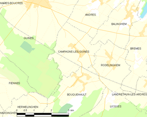
Rodelinghem (Rodelinghem)

- commune in Pas-de-Calais, France
- Country:

- Postal Code: 62610
- Coordinates: 50° 50' 17" N, 1° 55' 43" E


- GPS tracks (wikiloc): [Link]
- Area: 4.35 sq km
- Population: 550
- Web site: http://rodelinghem.free.fr/mairie.html
- Wikipedia en: wiki(en)
- Wikipedia: wiki(fr)
- Wikidata storage: Wikidata: Q1024259
- Wikipedia Commons Category: [Link]
- Freebase ID: [/m/02z8brh]
- GeoNames ID: Alt: [6439833]
- SIREN number: [216207167]
- BnF ID: [15269157v]
- OSM relation ID: [288592]
- INSEE municipality code: 62716
Shares border with regions:


Landrethun-lès-Ardres
- commune in Pas-de-Calais, France
- Country:
- Postal Code: 62610
- Coordinates: 50° 49' 30" N, 1° 57' 34" E
- GPS tracks (wikiloc): [Link]
- Area: 5.71 sq km
- Population: 740
- Web site: [Link]


Licques
- commune in Pas-de-Calais, France
- Country:
- Postal Code: 62850
- Coordinates: 50° 47' 7" N, 1° 56' 12" E
- GPS tracks (wikiloc): [Link]
- Area: 18.36 sq km
- Population: 1631
- Web site: [Link]


Balinghem
- commune in Pas-de-Calais, France
- Country:
- Postal Code: 62610
- Coordinates: 50° 51' 40" N, 1° 56' 31" E
- GPS tracks (wikiloc): [Link]
- Area: 5.79 sq km
- Population: 1188
- Web site: [Link]


Brêmes
- commune in Pas-de-Calais, France
- Country:
- Postal Code: 62610
- Coordinates: 50° 51' 18" N, 1° 58' 11" E
- GPS tracks (wikiloc): [Link]
- Area: 7.25 sq km
- Population: 1290
- Web site: [Link]


Bouquehault
- commune in Pas-de-Calais, France
- Country:
- Postal Code: 62340
- Coordinates: 50° 49' 36" N, 1° 54' 12" E
- GPS tracks (wikiloc): [Link]
- Area: 8.04 sq km
- Population: 742

Campagne-lès-Guines
- commune in Pas-de-Calais, France
- Country:
- Postal Code: 62340
- Coordinates: 50° 50' 24" N, 1° 54' 14" E
- GPS tracks (wikiloc): [Link]
- Area: 5.72 sq km
- Population: 445