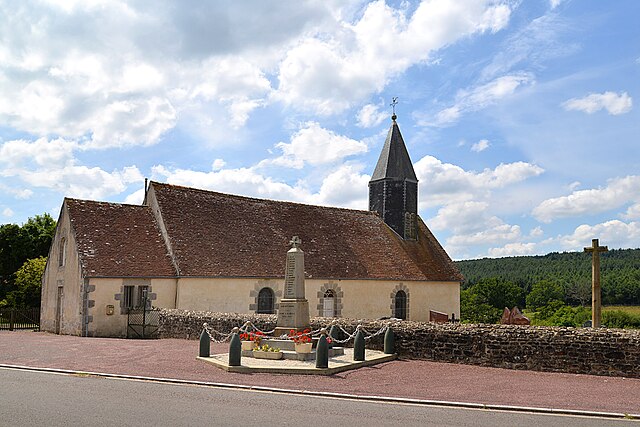
Rouperroux (Rouperroux)

- commune in Orne, France
- Country:

- Postal Code: 61320
- Coordinates: 48° 32' 52" N, 0° 5' 8" E


- GPS tracks (wikiloc): [Link]
- Area: 9.78 sq km
- Population: 173
- Wikipedia en: wiki(en)
- Wikipedia: wiki(fr)
- Wikidata storage: Wikidata: Q248750
- Wikipedia Commons Category: [Link]
- Freebase ID: [/m/03qgp_r]
- Freebase ID: [/m/03qgp_r]
- GeoNames ID: Alt: [6439220]
- GeoNames ID: Alt: [6439220]
- SIREN number: [216103572]
- SIREN number: [216103572]
- BnF ID: [15268287t]
- BnF ID: [15268287t]
- INSEE municipality code: 61357
- INSEE municipality code: 61357
Shares border with regions:


Chahains
- commune in Orne, France
- Country:
- Postal Code: 61320
- Coordinates: 48° 33' 44" N, 0° 6' 52" E
- GPS tracks (wikiloc): [Link]
- Area: 7.65 sq km
- Population: 92

La Lande-de-Goult
- commune in Orne, France
- Country:
- Postal Code: 61320
- Coordinates: 48° 35' 6" N, 0° 2' 51" E
- GPS tracks (wikiloc): [Link]
- Area: 28.57 sq km
- Population: 193


Saint-Didier-sous-Écouves
- commune in Orne, France
- Country:
- Postal Code: 61320
- Coordinates: 48° 32' 14" N, 0° 2' 14" E
- GPS tracks (wikiloc): [Link]
- Area: 8.78 sq km
- Population: 158


Saint-Ellier-les-Bois
- commune in Orne, France
- Country:
- Postal Code: 61320
- Coordinates: 48° 31' 13" N, 0° 5' 42" E
- GPS tracks (wikiloc): [Link]
- Area: 13.68 sq km
- Population: 243