Sablé-sur-Sarthe (Sablé-sur-Sarthe)
- commune in Sarthe, France
- Country:

- Postal Code: 72300
- Coordinates: 47° 50' 24" N, 0° 20' 3" E


- GPS tracks (wikiloc): [Link]
- Area: 36.92 sq km
- Population: 12496
- Web site: http://www.sablesursarthe.fr
- Wikipedia en: wiki(en)
- Wikipedia: wiki(fr)
- Wikidata storage: Wikidata: Q828635
- Wikipedia Commons Category: [Link]
- Freebase ID: [/m/080ftc]
- GeoNames ID: Alt: [2982076]
- SIREN number: [217202647]
- BnF ID: [152738179]
- VIAF ID: Alt: [152612015]
- archINFORM location ID: [4302]
- Library of Congress authority ID: Alt: [n96094127]
- PACTOLS thesaurus ID: [pcrti4Julu6uDu]
- MusicBrainz area ID: [5835c146-87b9-4ca3-a309-e0cd7c99427c]
- WOEID: [620548]
- SUDOC authorities ID: [14646897X]
- EMLO location ID: [c242cf69-f247-4d4a-9e09-130585b9d78a]
- INSEE municipality code: 72264
Shares border with regions:


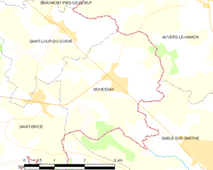
Bouessay
- commune in Mayenne, France
- Country:

- Postal Code: 53290
- Coordinates: 47° 52' 34" N, 0° 23' 34" E


- GPS tracks (wikiloc): [Link]
- Area: 9.34 sq km
- Population: 753
- Web site: [Link]


Saint-Denis-d'Anjou
- commune in Mayenne, France
- Country:

- Postal Code: 53290
- Coordinates: 47° 47' 27" N, 0° 26' 28" E


- GPS tracks (wikiloc): [Link]
- Area: 41.89 sq km
- Population: 1555


Solesmes
- commune in Sarthe, France
- Country:

- Postal Code: 72300
- Coordinates: 47° 51' 6" N, 0° 18' 7" E


- GPS tracks (wikiloc): [Link]
- Area: 11.53 sq km
- Population: 1211
- Web site: [Link]


Pincé
- commune in Sarthe, France
- Country:

- Postal Code: 72300
- Coordinates: 47° 47' 49" N, 0° 22' 52" E


- GPS tracks (wikiloc): [Link]
- Area: 5.76 sq km
- Population: 195


Souvigné-sur-Sarthe
- commune in Sarthe, France
- Country:

- Postal Code: 72300
- Coordinates: 47° 49' 36" N, 0° 23' 19" E


- GPS tracks (wikiloc): [Link]
- Area: 17.06 sq km
- Population: 627
- Web site: [Link]


Juigné-sur-Sarthe
- commune in Sarthe, France
- Country:

- Postal Code: 72300
- Coordinates: 47° 51' 49" N, 0° 17' 14" E


- GPS tracks (wikiloc): [Link]
- Area: 20.66 sq km
- Population: 1156


Auvers-le-Hamon
- commune in Sarthe, France
- Country:

- Postal Code: 72300
- Coordinates: 47° 54' 9" N, 0° 21' 6" E


- GPS tracks (wikiloc): [Link]
- Area: 47.83 sq km
- Population: 1506
- Web site: [Link]


Courtillers
- commune in Sarthe, France
- Country:

- Postal Code: 72300
- Coordinates: 47° 48' 1" N, 0° 18' 10" E


- GPS tracks (wikiloc): [Link]
- Area: 7.24 sq km
- Population: 943
- Web site: [Link]


Saint-Brice
- commune in Mayenne, France
- Country:

- Postal Code: 53290
- Coordinates: 47° 51' 35" N, 0° 26' 26" E


- GPS tracks (wikiloc): [Link]
- Area: 13.23 sq km
- Population: 530

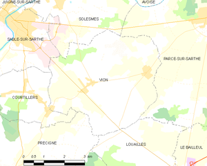
Vion, Sarthe
- commune in Sarthe, France
- Country:

- Postal Code: 72300
- Coordinates: 47° 49' 10" N, 0° 14' 20" E


- GPS tracks (wikiloc): [Link]
- Area: 20.04 sq km
- Population: 1445
- Web site: [Link]
