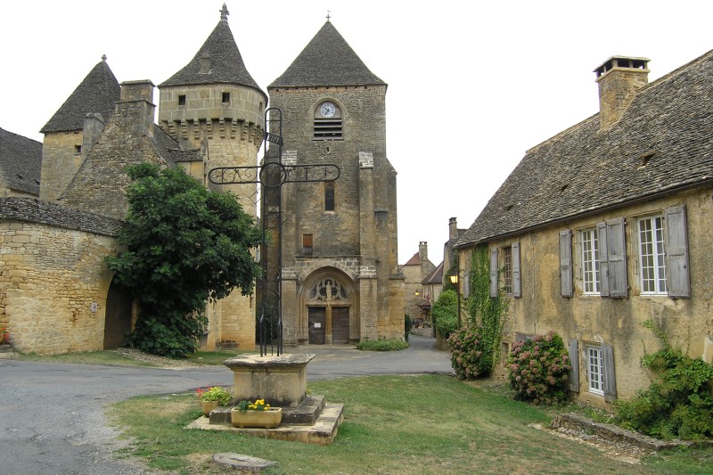
Saint-Amand-de-Coly (Saint-Amand-de-Coly)

- commune in Dordogne, France
- Country:

- Postal Code: 24290
- Coordinates: 45° 3' 49" N, 1° 14' 50" E


- GPS tracks (wikiloc): [Link]
- Area: 26.4 sq km
- Population: 392
- Wikipedia en: wiki(en)
- Wikipedia: wiki(fr)
- Wikidata storage: Wikidata: Q473659
- Wikipedia Commons Category: [Link]
- Freebase ID: [/m/03mg7v6]
- Freebase ID: [/m/03mg7v6]
- GeoNames ID: Alt: [6429505]
- GeoNames ID: Alt: [6429505]
- SIREN number: [212403646]
- SIREN number: [212403646]
- BnF ID: [15252009t]
- BnF ID: [15252009t]
- VIAF ID: Alt: [168082660]
- VIAF ID: Alt: [168082660]
- GND ID: Alt: [4694398-5]
- GND ID: Alt: [4694398-5]
- MusicBrainz area ID: [d6be737c-7f7f-4141-995e-37d8cfa03360]
- MusicBrainz area ID: [d6be737c-7f7f-4141-995e-37d8cfa03360]
- TGN ID: [4009651]
- TGN ID: [4009651]
- ISNI: Alt: [0000 0001 2301 2790]
- ISNI: Alt: [0000 0001 2301 2790]
- INSEE municipality code: 24364
- INSEE municipality code: 24364
Shares border with regions:


Condat-sur-Vézère
- commune in Dordogne, France
- Country:
- Postal Code: 24570
- Coordinates: 45° 7' 2" N, 1° 13' 49" E
- GPS tracks (wikiloc): [Link]
- Area: 16.64 sq km
- Population: 904
- Web site: [Link]

Saint-Geniès
- commune in Dordogne, France
- Country:
- Postal Code: 24590
- Coordinates: 44° 59' 39" N, 1° 15' 6" E
- GPS tracks (wikiloc): [Link]
- Area: 33.59 sq km
- Population: 947
- Web site: [Link]