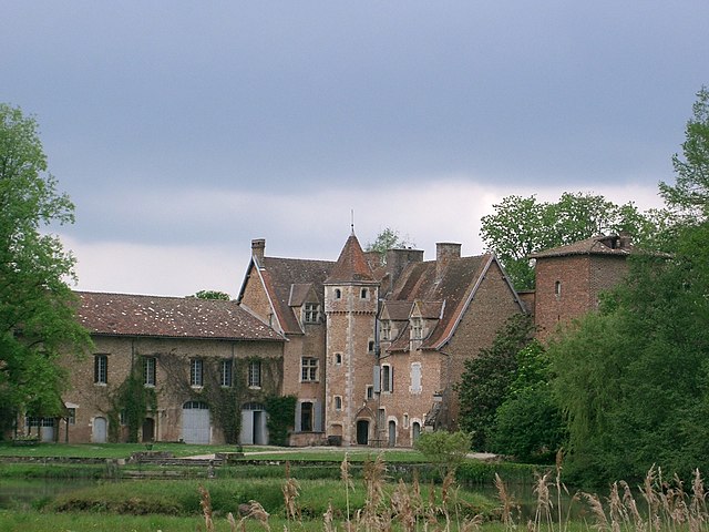
Saint-André-sur-Vieux-Jonc (Saint-André-sur-Vieux-Jonc)
- commune in Ain, France
- Country:

- Postal Code: 01960
- Coordinates: 46° 9' 26" N, 5° 8' 47" E


- GPS tracks (wikiloc): [Link]
- Area: 24.22 sq km
- Population: 1128
- Web site: http://www.standresurvieuxjonc.fr
- Wikipedia en: wiki(en)
- Wikipedia: wiki(fr)
- Wikidata storage: Wikidata: Q766749
- Wikipedia Commons Category: [Link]
- Wikipedia Commons Maps Category: [Link]
- Freebase ID: [/m/0bltc8]
- Freebase ID: [/m/0bltc8]
- GeoNames ID: Alt: [2981712]
- GeoNames ID: Alt: [2981712]
- SIREN number: [210103362]
- SIREN number: [210103362]
- INSEE municipality code: 01336
- INSEE municipality code: 01336
Shares border with regions:
Saint-Paul-de-Varax
- commune in Ain, France
- Country:
- Postal Code: 01240
- Coordinates: 46° 5' 56" N, 5° 7' 42" E
- GPS tracks (wikiloc): [Link]
- Area: 25.97 sq km
- Population: 1476
- Web site: [Link]

Condeissiat
- commune in Ain, France
- Country:
- Postal Code: 01400
- Coordinates: 46° 9' 30" N, 5° 4' 48" E
- GPS tracks (wikiloc): [Link]
- Area: 21.64 sq km
- Population: 830
- Web site: [Link]


Saint-Rémy
- commune in Ain, France
- Country:
- Postal Code: 01310
- Coordinates: 46° 11' 21" N, 5° 10' 6" E
- GPS tracks (wikiloc): [Link]
- Area: 7.38 sq km
- Population: 991
- Web site: [Link]

Péronnas
- commune in Ain, France
- Country:
- Postal Code: 01960
- Coordinates: 46° 10' 43" N, 5° 12' 10" E
- GPS tracks (wikiloc): [Link]
- Area: 17.55 sq km
- Population: 6241
- Web site: [Link]

Montracol
- commune in Ain, France
- Country:
- Postal Code: 01310
- Coordinates: 46° 11' 50" N, 5° 7' 19" E
- GPS tracks (wikiloc): [Link]
- Area: 14.56 sq km
- Population: 1021
- Web site: [Link]

Saint-André-le-Bouchoux
- commune in Ain, France
- Country:
- Postal Code: 01240
- Coordinates: 46° 7' 2" N, 5° 4' 43" E
- GPS tracks (wikiloc): [Link]
- Area: 9.32 sq km
- Population: 382

Servas
- commune in Ain, France
- Country:
- Postal Code: 01240
- Coordinates: 46° 7' 58" N, 5° 9' 56" E
- GPS tracks (wikiloc): [Link]
- Area: 13.05 sq km
- Population: 1224
- Web site: [Link]