Saint-Angel (Saint-Angel)

- commune in Puy-de-Dôme, France
- Country:

- Postal Code: 63410
- Coordinates: 45° 59' 46" N, 2° 56' 3" E


- GPS tracks (wikiloc): [Link]
- AboveSeaLevel: 666 м m
- Area: 17.89 sq km
- Population: 410
- Web site: http://saint-angel.blog4ever.com/
- Wikipedia en: wiki(en)
- Wikipedia: wiki(fr)
- Wikidata storage: Wikidata: Q1218430
- Wikipedia Commons Category: [Link]
- Freebase ID: [/m/03ql1v4]
- SIREN number: [216303180]
- BnF ID: [15269668w]
- VIAF ID: Alt: [136022627]
- Library of Congress authority ID: Alt: [n78057728]
- INSEE municipality code: 63318
Shares border with regions:
Blot-l'Église
- commune in Puy-de-Dôme, France
- Country:
- Postal Code: 63440
- Coordinates: 46° 2' 15" N, 2° 57' 18" E
- GPS tracks (wikiloc): [Link]
- Area: 25.29 sq km
- Population: 385
- Web site: [Link]

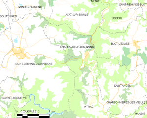
Châteauneuf-les-Bains
- commune in Puy-de-Dôme, France
- Country:
- Postal Code: 63390
- Coordinates: 46° 1' 42" N, 2° 53' 47" E
- GPS tracks (wikiloc): [Link]
- Area: 16.92 sq km
- Population: 299
Vitrac
- commune in Puy-de-Dôme, France
- Country:
- Postal Code: 63410
- Coordinates: 45° 58' 10" N, 2° 52' 38" E
- GPS tracks (wikiloc): [Link]
- AboveSeaLevel: 725 м m
- Area: 13.23 sq km
- Population: 342


Charbonnières-les-Vieilles
- commune in Puy-de-Dôme, France
- Country:
- Postal Code: 63410
- Coordinates: 45° 59' 42" N, 2° 59' 54" E
- GPS tracks (wikiloc): [Link]
- Area: 32.62 sq km
- Population: 1076


Manzat
- commune in Puy-de-Dôme, France
- Country:
- Postal Code: 63410
- Coordinates: 45° 57' 42" N, 2° 56' 29" E
- GPS tracks (wikiloc): [Link]
- Area: 39.06 sq km
- Population: 1366
- Web site: [Link]