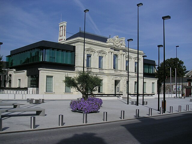
Saint-Barthélemy-d'Anjou (Saint-Barthélemy-d'Anjou)

- commune in Maine-et-Loire, France
- Country:

- Postal Code: 49124
- Coordinates: 47° 28' 3" N, 0° 29' 42" E


- GPS tracks (wikiloc): [Link]
- Area: 14.58 sq km
- Population: 9303
- Web site: http://www.ville-saint-barthelemy-anjou.fr
- Wikipedia en: wiki(en)
- Wikipedia: wiki(fr)
- Wikidata storage: Wikidata: Q1384064
- Wikipedia Commons Category: [Link]
- Freebase ID: [/m/03x_tv1]
- SIREN number: [214902678]
- BnF ID: [15261866t]
- PACTOLS thesaurus ID: [pcrtImkDJzYtSr]
- MusicBrainz area ID: [5c83d483-18b3-445a-9563-90e2f6ad090b]
- INSEE municipality code: 49267
Shares border with regions:


Brain-sur-l'Authion
- former commune in Maine-et-Loire, France
- Country:
- Postal Code: 49800
- Coordinates: 47° 26' 46" N, 0° 24' 39" E
- GPS tracks (wikiloc): [Link]
- Area: 22.92 sq km
- Population: 3466
- Web site: [Link]
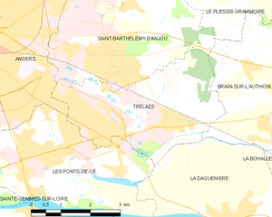
Trélazé
- commune in Maine-et-Loire, France
- Country:
- Postal Code: 49800
- Coordinates: 47° 26' 46" N, 0° 27' 59" E
- GPS tracks (wikiloc): [Link]
- Area: 12.2 sq km
- Population: 14145
- Web site: [Link]


Le Plessis-Grammoire
- commune in Maine-et-Loire, France
- Country:
- Postal Code: 49124
- Coordinates: 47° 30' 2" N, 0° 25' 48" E
- GPS tracks (wikiloc): [Link]
- Area: 9.14 sq km
- Population: 2327
- Web site: [Link]

Angers
- commune in Maine-et-Loire, France
- Country:
- Postal Code: 49100; 49000
- Coordinates: 47° 28' 22" N, 0° 33' 20" E
- GPS tracks (wikiloc): [Link]
- AboveSeaLevel: 20 м m
- Area: 42.7 sq km
- Population: 151520
- Web site: [Link]


Écouflant
- commune in Maine-et-Loire, France
- Country:
- Postal Code: 49000
- Coordinates: 47° 31' 52" N, 0° 31' 40" E
- GPS tracks (wikiloc): [Link]
- Area: 17.02 sq km
- Population: 3983