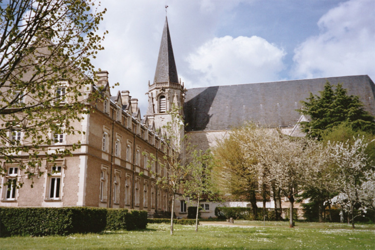
Saint-Benoît (Saint-Benoît)

- commune in Vienne, France
- Country:

- Postal Code: 86280
- Coordinates: 46° 32' 59" N, 0° 20' 30" E


- GPS tracks (wikiloc): [Link]
- Area: 13.58 sq km
- Population: 7088
- Web site: http://www.ville-saint-benoit.fr
- Wikipedia en: wiki(en)
- Wikipedia: wiki(fr)
- Wikidata storage: Wikidata: Q1454297
- Wikipedia Commons Category: [Link]
- Freebase ID: [/m/03qhmdk]
- SIREN number: [218602142]
- BnF ID: [15278641t]
- INSEE municipality code: 86214
Shares border with regions:


Mignaloux-Beauvoir
- commune in Vienne, France
- Country:
- Postal Code: 86550
- Coordinates: 46° 32' 36" N, 0° 24' 58" E
- GPS tracks (wikiloc): [Link]
- Area: 21.56 sq km
- Population: 4236
- Web site: [Link]

Ligugé
- commune in Vienne, France
- Country:
- Postal Code: 86240
- Coordinates: 46° 31' 5" N, 0° 19' 47" E
- GPS tracks (wikiloc): [Link]
- Area: 22.77 sq km
- Population: 3303


Nouaillé-Maupertuis
- commune in Vienne, France
- Country:
- Postal Code: 86340
- Coordinates: 46° 30' 31" N, 0° 24' 51" E
- GPS tracks (wikiloc): [Link]
- Area: 22.13 sq km
- Population: 2745


Poitiers
- commune in Vienne, France
- Country:
- Postal Code: 86000
- Coordinates: 46° 34' 52" N, 0° 20' 7" E
- GPS tracks (wikiloc): [Link]
- AboveSeaLevel: 75 м m
- Area: 42.11 sq km
- Population: 87918
- Web site: [Link]


Smarves
- commune in Vienne, France
- Country:
- Postal Code: 86240
- Coordinates: 46° 30' 40" N, 0° 21' 0" E
- GPS tracks (wikiloc): [Link]
- Area: 20.09 sq km
- Population: 2734