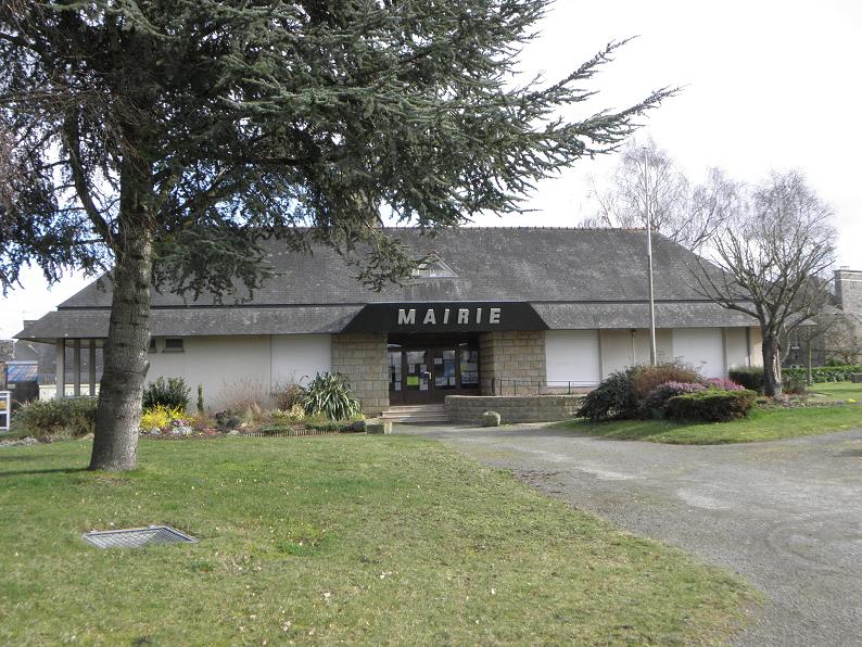
Saint-Broladre (Saint-Broladre)

- commune in Ille-et-Vilaine, France
- Country:

- Postal Code: 35120
- Coordinates: 48° 35' 12" N, 1° 39' 24" E


- GPS tracks (wikiloc): [Link]
- Area: 23.81 sq km
- Population: 1123
- Web site: http://www.saint-broladre.fr
- Wikipedia en: wiki(en)
- Wikipedia: wiki(fr)
- Wikidata storage: Wikidata: Q630399
- Wikipedia Commons Category: [Link]
- Freebase ID: [/m/03mf50b]
- Freebase ID: [/m/03mf50b]
- Freebase ID: [/m/03mf50b]
- GeoNames ID: Alt: [6432818]
- GeoNames ID: Alt: [6432818]
- GeoNames ID: Alt: [6432818]
- SIREN number: [213502594]
- SIREN number: [213502594]
- SIREN number: [213502594]
- BnF ID: [15257201t]
- BnF ID: [15257201t]
- BnF ID: [15257201t]
- OSM relation ID: [145073]
- OSM relation ID: [145073]
- OSM relation ID: [145073]
- INSEE municipality code: 35259
- INSEE municipality code: 35259
- INSEE municipality code: 35259
Shares border with regions:


Baguer-Pican
- commune in Ille-et-Vilaine, France
- Country:
- Postal Code: 35120
- Coordinates: 48° 33' 9" N, 1° 41' 57" E
- GPS tracks (wikiloc): [Link]
- Area: 15.63 sq km
- Population: 1641


Roz-sur-Couesnon
- commune in Ille-et-Vilaine, France
- Country:
- Postal Code: 35610
- Coordinates: 48° 35' 20" N, 1° 35' 33" E
- GPS tracks (wikiloc): [Link]
- Area: 25.86 sq km
- Population: 1020
- Web site: [Link]


La Boussac
- commune in Ille-et-Vilaine, France
- Country:
- Postal Code: 35120
- Coordinates: 48° 30' 46" N, 1° 39' 38" E
- GPS tracks (wikiloc): [Link]
- Area: 21.93 sq km
- Population: 1144


Cherrueix
- commune in Ille-et-Vilaine, France
- Country:
- Postal Code: 35120
- Coordinates: 48° 36' 18" N, 1° 42' 39" E
- GPS tracks (wikiloc): [Link]
- Area: 12.69 sq km
- Population: 1132
- Web site: [Link]

Sains
- commune in Ille-et-Vilaine, France
- Country:
- Postal Code: 35610
- Coordinates: 48° 33' 5" N, 1° 35' 3" E
- GPS tracks (wikiloc): [Link]
- Area: 10.25 sq km
- Population: 496

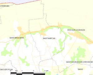
Saint-Marcan
- commune in Ille-et-Vilaine, France
- Country:
- Postal Code: 35120
- Coordinates: 48° 35' 16" N, 1° 38' 0" E
- GPS tracks (wikiloc): [Link]
- Area: 7.68 sq km
- Population: 454