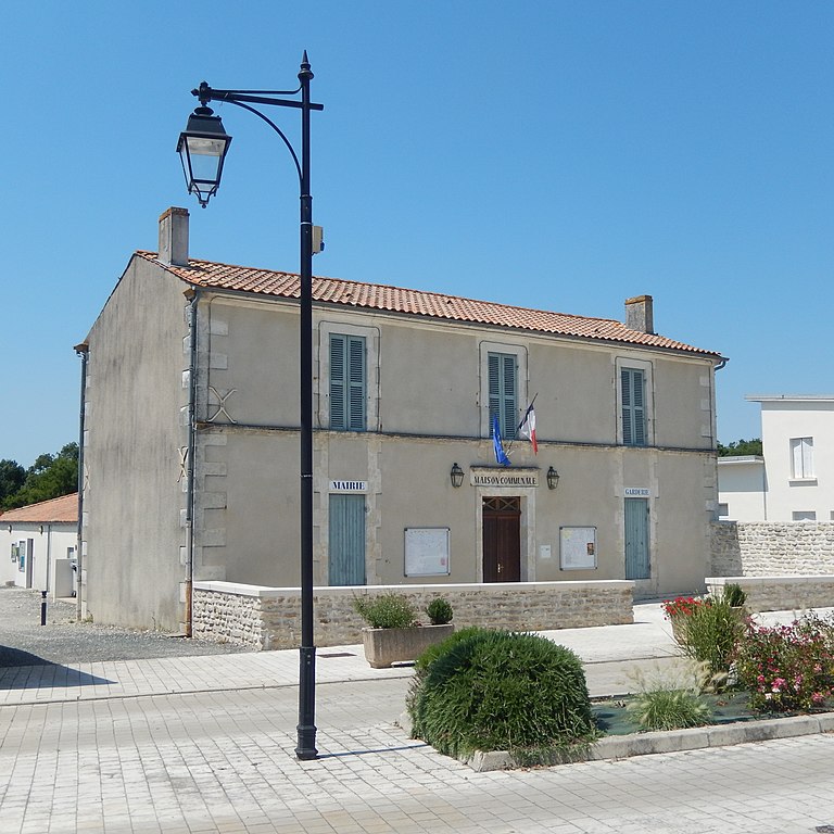
Saint-Crépin (Saint-Crépin)

- commune in Charente-Maritime, France
- Country:

- Postal Code: 17380
- Coordinates: 46° 0' 7" N, 0° 43' 59" E


- GPS tracks (wikiloc): [Link]
- Area: 13.94 sq km
- Population: 331
- Wikipedia en: wiki(en)
- Wikipedia: wiki(fr)
- Wikidata storage: Wikidata: Q1439003
- Wikipedia Commons Category: [Link]
- Freebase ID: [/m/03mcpnk]
- SIREN number: [211703210]
- BnF ID: [15249182n]
- INSEE municipality code: 17321
Shares border with regions:


Annezay
- commune in Charente-Maritime, France
- Country:
- Postal Code: 17380
- Coordinates: 46° 0' 33" N, 0° 42' 50" E
- GPS tracks (wikiloc): [Link]
- Area: 7.43 sq km
- Population: 173


Genouillé
- commune in Charente-Maritime, France
- Country:
- Postal Code: 17430
- Coordinates: 46° 1' 21" N, 0° 47' 7" E
- GPS tracks (wikiloc): [Link]
- Area: 34.41 sq km
- Population: 843
- Web site: [Link]

Moragne
- commune in Charente-Maritime, France
- Country:
- Postal Code: 17430
- Coordinates: 45° 58' 19" N, 0° 48' 14" E
- GPS tracks (wikiloc): [Link]
- Area: 12.03 sq km
- Population: 500


Tonnay-Boutonne
- commune in Charente-Maritime, France
- Country:
- Postal Code: 17380
- Coordinates: 45° 58' 4" N, 0° 42' 24" E
- GPS tracks (wikiloc): [Link]
- Area: 22.73 sq km
- Population: 1161