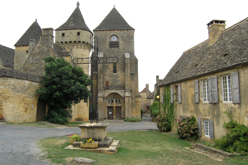
Saint-Crépin-et-Carlucet (Saint-Crépin-et-Carlucet)
- commune in Dordogne, France
- Country:

- Postal Code: 24590
- Coordinates: 44° 57' 50" N, 1° 16' 27" E


- GPS tracks (wikiloc): [Link]
- Area: 18.51 sq km
- Population: 527
- Web site: http://www.stcrepincarlucet.fr/
- Wikipedia en: wiki(en)
- Wikipedia: wiki(fr)
- Wikidata storage: Wikidata: Q1077013
- Wikipedia Commons Category: [Link]
- Freebase ID: [/m/03mg845]
- Freebase ID: [/m/03mg845]
- GeoNames ID: Alt: [2980997]
- GeoNames ID: Alt: [2980997]
- SIREN number: [212403927]
- SIREN number: [212403927]
- BnF ID: [152520372]
- BnF ID: [152520372]
- VIAF ID: Alt: [245271202]
- VIAF ID: Alt: [245271202]
- PACTOLS thesaurus ID: [pcrtWD7vBfslY4]
- PACTOLS thesaurus ID: [pcrtWD7vBfslY4]
- INSEE municipality code: 24392
- INSEE municipality code: 24392
Shares border with regions:


Saint-Geniès
- commune in Dordogne, France
- Country:

- Postal Code: 24590
- Coordinates: 44° 59' 39" N, 1° 15' 6" E


- GPS tracks (wikiloc): [Link]
- Area: 33.59 sq km
- Population: 947
- Web site: [Link]
