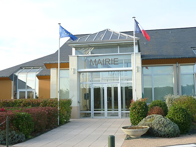
Saint-Cyr-en-Bourg (Saint-Cyr-en-Bourg)

- commune in Maine-et-Loire, France
- Country:

- Postal Code: 49260
- Coordinates: 47° 11' 38" N, 0° 3' 38" E


- GPS tracks (wikiloc): [Link]
- Area: 8.63 sq km
- Population: 894
- Wikipedia en: wiki(en)
- Wikipedia: wiki(fr)
- Wikidata storage: Wikidata: Q1383991
- Wikipedia Commons Category: [Link]
- Freebase ID: [/m/03x_twf]
- GeoNames ID: Alt: [6435283]
- SIREN number: [214902744]
- BnF ID: [152618733]
- INSEE municipality code: 49274
Shares border with regions:
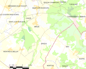
Brézé
- commune in Maine-et-Loire, France
- Country:
- Postal Code: 49260
- Coordinates: 47° 10' 17" N, 0° 3' 30" E
- GPS tracks (wikiloc): [Link]
- Area: 20.05 sq km
- Population: 1271
- Web site: [Link]


Fontevraud-l'Abbaye
- commune in Maine-et-Loire, France
- Country:
- Postal Code: 49590
- Coordinates: 47° 10' 56" N, 0° 2' 59" E
- GPS tracks (wikiloc): [Link]
- AboveSeaLevel: 80 м m
- Area: 14.82 sq km
- Population: 1528
- Web site: [Link]


Chacé
- commune in Maine-et-Loire, France
- Country:
- Postal Code: 49400
- Coordinates: 47° 12' 53" N, 0° 4' 10" E
- GPS tracks (wikiloc): [Link]
- Area: 6.42 sq km
- Population: 1409


Souzay-Champigny
- commune in Maine-et-Loire, France
- Country:
- Postal Code: 49400
- Coordinates: 47° 14' 10" N, 0° 0' 27" E
- GPS tracks (wikiloc): [Link]
- Area: 8.92 sq km
- Population: 772