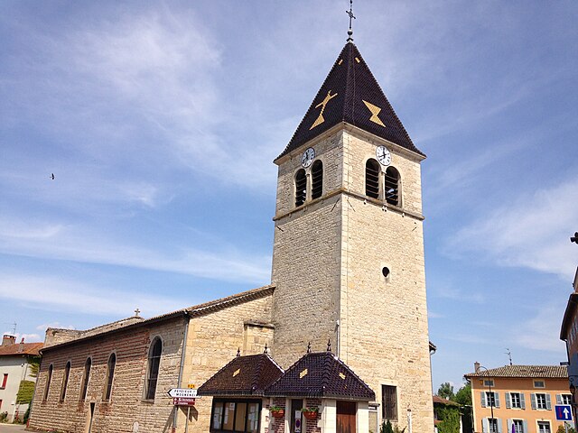
Saint-Didier-sur-Chalaronne (Saint-Didier-sur-Chalaronne)
- commune in Ain, France
- Country:

- Postal Code: 01140
- Coordinates: 46° 10' 39" N, 4° 49' 4" E


- GPS tracks (wikiloc): [Link]
- Area: 24.98 sq km
- Population: 2787
- Web site: http://www.saintdidiersurchalaronne.fr
- Wikipedia en: wiki(en)
- Wikipedia: wiki(fr)
- Wikidata storage: Wikidata: Q859330
- Wikipedia Commons Category: [Link]
- Wikipedia Commons Maps Category: [Link]
- Freebase ID: [/m/081qpl]
- Freebase ID: [/m/081qpl]
- GeoNames ID: Alt: [6424660]
- GeoNames ID: Alt: [6424660]
- SIREN number: [210103487]
- SIREN number: [210103487]
- INSEE municipality code: 01348
- INSEE municipality code: 01348
Shares border with regions:


La Chapelle-de-Guinchay
- commune in Saône-et-Loire, France
- Country:
- Postal Code: 71570
- Coordinates: 46° 12' 38" N, 4° 45' 17" E
- GPS tracks (wikiloc): [Link]
- Area: 12.44 sq km
- Population: 4052
- Web site: [Link]


Dracé
- commune in Rhône, France
- Country:
- Postal Code: 69220
- Coordinates: 46° 9' 24" N, 4° 45' 56" E
- GPS tracks (wikiloc): [Link]
- Area: 14.87 sq km
- Population: 968
- Web site: [Link]


Saint-Symphorien-d'Ancelles
- commune in Saône-et-Loire, France
- Country:
- Postal Code: 71570
- Coordinates: 46° 11' 53" N, 4° 46' 12" E
- GPS tracks (wikiloc): [Link]
- Area: 6.13 sq km
- Population: 1177
- Web site: [Link]


Illiat
- commune in Ain, France
- Country:
- Postal Code: 01140
- Coordinates: 46° 11' 25" N, 4° 53' 18" E
- GPS tracks (wikiloc): [Link]
- Area: 20.37 sq km
- Population: 610

Garnerans
- commune in Ain, France
- Country:
- Postal Code: 01140
- Coordinates: 46° 12' 21" N, 4° 50' 28" E
- GPS tracks (wikiloc): [Link]
- Area: 8.57 sq km
- Population: 662
- Web site: [Link]

Mogneneins
- commune in Ain, France
- Country:
- Postal Code: 01140
- Coordinates: 46° 8' 18" N, 4° 48' 42" E
- GPS tracks (wikiloc): [Link]
- Area: 8.57 sq km
- Population: 773
- Web site: [Link]

Thoissey
- commune in Ain, France
- Country:
- Postal Code: 01140
- Coordinates: 46° 10' 21" N, 4° 48' 7" E
- GPS tracks (wikiloc): [Link]
- Area: 1.34 sq km
- Population: 1712
- Web site: [Link]

Saint-Étienne-sur-Chalaronne
- commune in Ain, France
- Country:
- Postal Code: 01140
- Coordinates: 46° 8' 49" N, 4° 52' 1" E
- GPS tracks (wikiloc): [Link]
- Area: 20.99 sq km
- Population: 1538
- Web site: [Link]