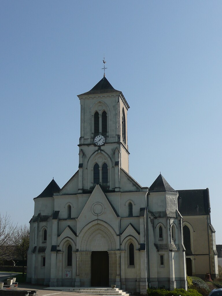
Saint-Erblon (Saint-Erblon)

- commune in Mayenne, France
- Country:

- Postal Code: 53390
- Coordinates: 47° 47' 14" N, 1° 10' 4" E


- GPS tracks (wikiloc): [Link]
- Area: 5.68 sq km
- Population: 173
- Wikipedia en: wiki(en)
- Wikipedia: wiki(fr)
- Wikidata storage: Wikidata: Q545530
- Wikipedia Commons Category: [Link]
- Freebase ID: [/m/03qfbhb]
- Freebase ID: [/m/03qfbhb]
- GeoNames ID: Alt: [6612617]
- GeoNames ID: Alt: [6612617]
- SIREN number: [215302142]
- SIREN number: [215302142]
- BnF ID: [15264007t]
- BnF ID: [15264007t]
- INSEE municipality code: 53214
- INSEE municipality code: 53214
Shares border with regions:

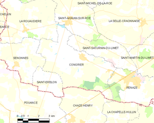
Congrier
- commune in Mayenne, France
- Country:
- Postal Code: 53800
- Coordinates: 47° 48' 36" N, 1° 7' 2" E
- GPS tracks (wikiloc): [Link]
- Area: 24.28 sq km
- Population: 912
- Web site: [Link]
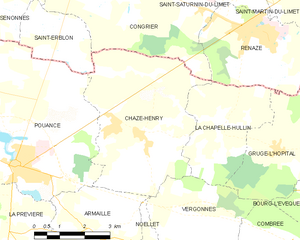
Chazé-Henry
- former commune in Maine-et-Loire, France
- Country:
- Postal Code: 49860
- Coordinates: 47° 45' 10" N, 1° 6' 35" E
- GPS tracks (wikiloc): [Link]
- Area: 19.87 sq km
- Population: 812
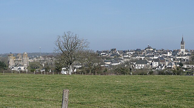

Pouancé
- former commune in Maine-et-Loire, France
- Country:
- Postal Code: 49420
- Coordinates: 47° 44' 30" N, 1° 10' 25" E
- GPS tracks (wikiloc): [Link]
- Area: 48.97 sq km
- Population: 3031
- Web site: [Link]


Senonnes
- commune in Mayenne, France
- Country:
- Postal Code: 53390
- Coordinates: 47° 47' 56" N, 1° 12' 9" E
- GPS tracks (wikiloc): [Link]
- Area: 13.13 sq km
- Population: 342