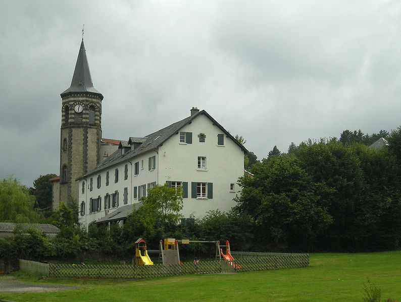
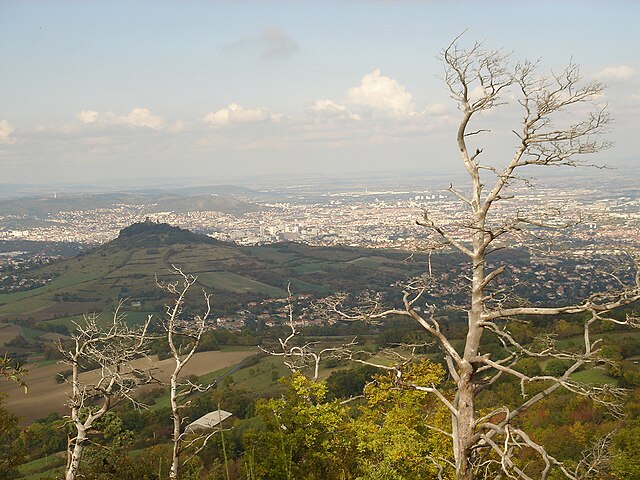
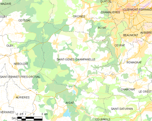
Saint-Genès-Champanelle (Saint-Genès-Champanelle)
- commune in Puy-de-Dôme, France
- Country:

- Postal Code: 63122
- Coordinates: 45° 43' 13" N, 3° 1' 8" E


- GPS tracks (wikiloc): [Link]
- Area: 51.58 sq km
- Population: 3438
- Web site: http://www.saint-genes-champanelle.fr
- Wikipedia en: wiki(en)
- Wikipedia: wiki(fr)
- Wikidata storage: Wikidata: Q573350
- Wikipedia Commons Category: [Link]
- Freebase ID: [/m/03ql2b_]
- SIREN number: [216303453]
- BnF ID: [15269695s]
- VIAF ID: Alt: [243911180]
- PACTOLS thesaurus ID: [pcrtaRiVBQHlKB]
- INSEE municipality code: 63345
Shares border with regions:


Orcines
- commune in Puy-de-Dôme, France
- Country:

- Postal Code: 63870
- Coordinates: 45° 46' 57" N, 3° 0' 44" E


- GPS tracks (wikiloc): [Link]
- Area: 42.73 sq km
- Population: 3357
- Web site: [Link]


Nébouzat
- commune in Puy-de-Dôme, France
- Country:

- Postal Code: 63210
- Coordinates: 45° 42' 56" N, 2° 54' 18" E


- GPS tracks (wikiloc): [Link]
- Area: 21.62 sq km
- Population: 826


Romagnat
- commune in Puy-de-Dôme, France
- Country:

- Postal Code: 63540
- Coordinates: 45° 43' 46" N, 3° 6' 2" E


- GPS tracks (wikiloc): [Link]
- Area: 16.84 sq km
- Population: 7755
- Web site: [Link]


Ceyssat
- commune in Puy-de-Dôme, France
- Country:

- Postal Code: 63210
- Coordinates: 45° 45' 57" N, 2° 53' 48" E


- GPS tracks (wikiloc): [Link]
- AboveSeaLevel: 790 м m
- Area: 30.17 sq km
- Population: 690


Saint-Saturnin
- commune in Puy-de-Dôme, France
- Country:

- Postal Code: 63450
- Coordinates: 45° 39' 34" N, 3° 5' 32" E


- GPS tracks (wikiloc): [Link]
- Area: 16.86 sq km
- Population: 1164
- Web site: [Link]


Ceyrat
- commune in Puy-de-Dôme, France
- Country:

- Postal Code: 63122
- Coordinates: 45° 43' 58" N, 3° 3' 48" E


- GPS tracks (wikiloc): [Link]
- Area: 9.35 sq km
- Population: 6390
- Web site: [Link]


Aydat
- commune in Puy-de-Dôme, France
- Country:

- Postal Code: 63970
- Coordinates: 45° 39' 37" N, 2° 58' 23" E


- GPS tracks (wikiloc): [Link]
- Area: 50.22 sq km
- Population: 2329
- Web site: [Link]


Chanonat
- commune in Puy-de-Dôme, France
- Country:

- Postal Code: 63450
- Coordinates: 45° 41' 33" N, 3° 5' 44" E


- GPS tracks (wikiloc): [Link]
- Area: 12.7 sq km
- Population: 1662
- Web site: [Link]


Royat
- commune in Puy-de-Dôme, France
- Country:

- Postal Code: 63130
- Coordinates: 45° 45' 54" N, 3° 3' 0" E


- GPS tracks (wikiloc): [Link]
- Area: 6.62 sq km
- Population: 4775
- Web site: [Link]
