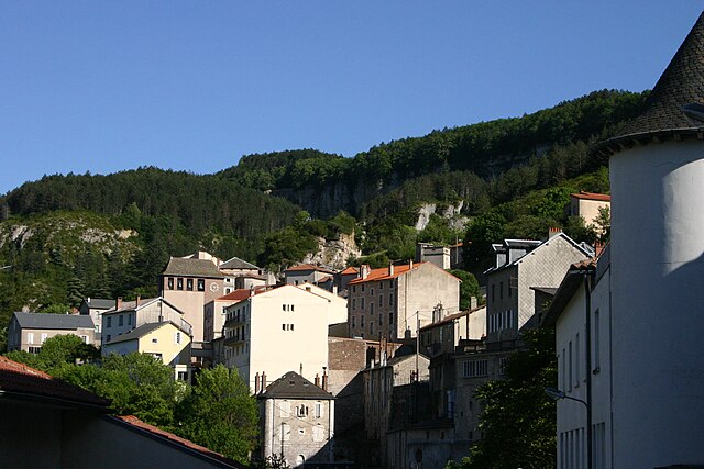
Saint-Jean-d'Alcapiès (Saint-Jean-d'Alcapiès)
- commune in Aveyron, France
- Country:

- Postal Code: 12250
- Coordinates: 43° 57' 5" N, 2° 58' 29" E


- GPS tracks (wikiloc): [Link]
- Area: 8.62 sq km
- Population: 260
- Wikipedia en: wiki(en)
- Wikipedia: wiki(fr)
- Wikidata storage: Wikidata: Q1364854
- Wikipedia Commons Category: [Link]
- Freebase ID: [/m/03m95hc]
- SIREN number: [211202296]
- BnF ID: [152472050]
- INSEE municipality code: 12229
Shares border with regions:


Saint-Jean-et-Saint-Paul
- commune in Aveyron, France
- Country:

- Postal Code: 12250
- Coordinates: 43° 55' 41" N, 3° 0' 19" E


- GPS tracks (wikiloc): [Link]
- Area: 37.91 sq km
- Population: 274


Roquefort-sur-Soulzon
- commune in Aveyron, France
- Country:

- Postal Code: 12250
- Coordinates: 43° 58' 36" N, 2° 59' 20" E


- GPS tracks (wikiloc): [Link]
- AboveSeaLevel: 630 м m
- Area: 17.03 sq km
- Population: 592


Saint-Affrique
- commune in Aveyron, France
- Country:

- Postal Code: 12400
- Coordinates: 43° 57' 30" N, 2° 53' 11" E


- GPS tracks (wikiloc): [Link]
- AboveSeaLevel: 330 м m
- Area: 110.96 sq km
- Population: 8236
- Web site: [Link]
