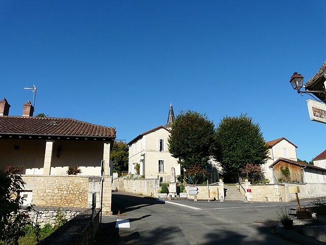
Saint-Jean-de-Côle (Saint-Jean-de-Côle)

- commune in Dordogne, France
- Country:

- Postal Code: 24800
- Coordinates: 45° 25' 15" N, 0° 50' 18" E


- GPS tracks (wikiloc): [Link]
- Area: 12.7 sq km
- Population: 367
- Web site: http://www.ville-saint-jean-de-cole.fr
- Wikipedia en: wiki(en)
- Wikipedia: wiki(fr)
- Wikidata storage: Wikidata: Q638265
- Wikipedia Commons Category: [Link]
- Freebase ID: [/m/03g_hyw]
- Freebase ID: [/m/03g_hyw]
- SIREN number: [212404255]
- SIREN number: [212404255]
- BnF ID: [15252069p]
- BnF ID: [15252069p]
- VIAF ID: Alt: [212846823]
- VIAF ID: Alt: [212846823]
- GND ID: Alt: [16331250-3]
- GND ID: Alt: [16331250-3]
- Library of Congress authority ID: Alt: [n2015183243]
- Library of Congress authority ID: Alt: [n2015183243]
- SUDOC authorities ID: [112357261]
- SUDOC authorities ID: [112357261]
- INSEE municipality code: 24425
- INSEE municipality code: 24425
Shares border with regions:

Vaunac
- commune in Dordogne, France
- Country:
- Postal Code: 24800
- Coordinates: 45° 21' 51" N, 0° 51' 51" E
- GPS tracks (wikiloc): [Link]
- Area: 13.78 sq km
- Population: 279


Saint-Romain-et-Saint-Clément
- commune in Dordogne, France
- Country:
- Postal Code: 24800
- Coordinates: 45° 25' 26" N, 0° 51' 49" E
- GPS tracks (wikiloc): [Link]
- Area: 13.8 sq km
- Population: 325


Saint-Martin-de-Fressengeas
- commune in Dordogne, France
- Country:
- Postal Code: 24800
- Coordinates: 45° 26' 37" N, 0° 50' 42" E
- GPS tracks (wikiloc): [Link]
- Area: 20.84 sq km
- Population: 361


Villars
- commune in Dordogne, France
- Country:
- Postal Code: 24530
- Coordinates: 45° 25' 13" N, 0° 45' 18" E
- GPS tracks (wikiloc): [Link]
- Area: 27.67 sq km
- Population: 475


Saint-Pierre-de-Côle
- commune in Dordogne, France
- Country:
- Postal Code: 24800
- Coordinates: 45° 22' 17" N, 0° 47' 32" E
- GPS tracks (wikiloc): [Link]
- Area: 19.85 sq km
- Population: 467
- Web site: [Link]