Saint-Jean-de-la-Forêt (Saint-Jean-de-la-Forêt)

- former commune in Orne, France
- Country:

- Postal Code: 61340
- Coordinates: 48° 22' 42" N, 0° 38' 11" E


- GPS tracks (wikiloc): [Link]
- Area: 9.37 sq km
- Population: 181
- Wikipedia en: wiki(en)
- Wikipedia: wiki(fr)
- Wikidata storage: Wikidata: Q1441826
- Wikipedia Commons Category: [Link]
- Freebase ID: [/m/03x_y58]
- Freebase ID: [/m/03x_y58]
- BnF ID: [152683397]
- BnF ID: [152683397]
- INSEE municipality code: 61409
- INSEE municipality code: 61409
Shares border with regions:

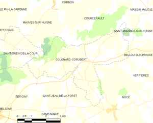
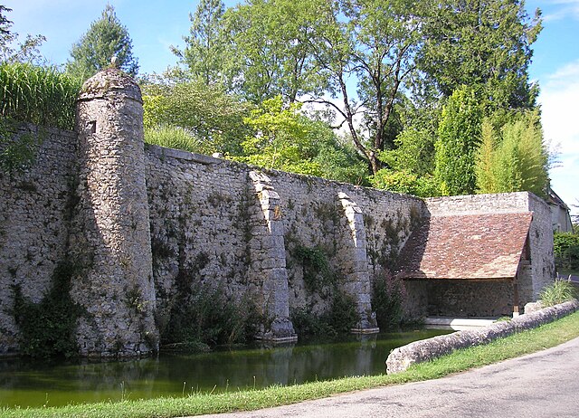
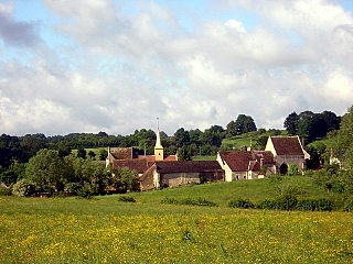
Colonard-Corubert
- former commune in Orne, France
- Country:
- Postal Code: 61340
- Coordinates: 48° 24' 32" N, 0° 39' 25" E
- GPS tracks (wikiloc): [Link]
- Area: 14.1 sq km
- Population: 255

Sérigny
- former commune in Orne, France
- Country:
- Postal Code: 61130
- Coordinates: 48° 22' 19" N, 0° 34' 27" E
- GPS tracks (wikiloc): [Link]
- Area: 15 sq km
- Population: 389


Saint-Aubin-des-Grois
- former commune in Orne, France
- Country:
- Postal Code: 61340
- Coordinates: 48° 21' 35" N, 0° 38' 57" E
- GPS tracks (wikiloc): [Link]
- Area: 3.98 sq km
- Population: 61

Dame-Marie
- commune in Orne, France
- Country:
- Postal Code: 61130
- Coordinates: 48° 21' 18" N, 0° 36' 55" E
- GPS tracks (wikiloc): [Link]
- Area: 13.27 sq km
- Population: 164