Saint-Léger-aux-Bois (Saint-Léger-aux-Bois)

- commune in Oise, France
- Country:

- Postal Code: 60170
- Coordinates: 49° 28' 45" N, 2° 57' 7" E


- GPS tracks (wikiloc): [Link]
- Area: 8.3 sq km
- Population: 801
- Wikipedia en: wiki(en)
- Wikipedia: wiki(fr)
- Wikidata storage: Wikidata: Q1166699
- Wikipedia Commons Category: [Link]
- Freebase ID: [/m/03qg51_]
- GeoNames ID: Alt: [6438956]
- SIREN number: [216005751]
- BnF ID: [15267816q]
- INSEE municipality code: 60582
Shares border with regions:
Bailly
- commune in Oise, France
- Country:
- Postal Code: 60170
- Coordinates: 49° 29' 44" N, 2° 58' 11" E
- GPS tracks (wikiloc): [Link]
- Area: 4.26 sq km
- Population: 642

Le Plessis-Brion
- commune in Oise, France
- Country:
- Postal Code: 60150
- Coordinates: 49° 27' 55" N, 2° 53' 25" E
- GPS tracks (wikiloc): [Link]
- Area: 7.47 sq km
- Population: 1378

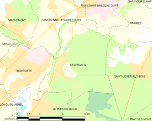
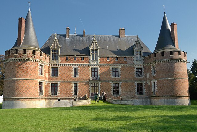
Montmacq
- commune in Oise, France
- Country:
- Postal Code: 60150
- Coordinates: 49° 28' 52" N, 2° 54' 6" E
- GPS tracks (wikiloc): [Link]
- Area: 7.25 sq km
- Population: 1068

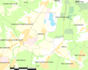
Pimprez
- commune in Oise, France
- Country:
- Postal Code: 60170
- Coordinates: 49° 30' 52" N, 2° 57' 7" E
- GPS tracks (wikiloc): [Link]
- Area: 9.49 sq km
- Population: 869
- Web site: [Link]


Tracy-le-Mont
- commune in Oise, France
- Country:
- Postal Code: 60170
- Coordinates: 49° 28' 14" N, 3° 0' 31" E
- GPS tracks (wikiloc): [Link]
- Area: 18.57 sq km
- Population: 1739