Saint-Laurent-des-Mortiers (Saint-Laurent-des-Mortiers)

- commune in Mayenne, France
- Country:

- Postal Code: 53290
- Coordinates: 47° 46' 19" N, 0° 32' 50" E


- GPS tracks (wikiloc): [Link]
- Area: 10.06 sq km
- Population: 189
- Wikipedia en: wiki(en)
- Wikipedia: wiki(fr)
- Wikidata storage: Wikidata: Q1101820
- Wikipedia Commons Category: [Link]
- Freebase ID: [/m/03nq07m]
- Freebase ID: [/m/03nq07m]
- GeoNames ID: Alt: [6436488]
- GeoNames ID: Alt: [6436488]
- SIREN number: [215302316]
- SIREN number: [215302316]
- BnF ID: [15264024d]
- BnF ID: [15264024d]
- INSEE municipality code: 53231
- INSEE municipality code: 53231
Shares border with regions:
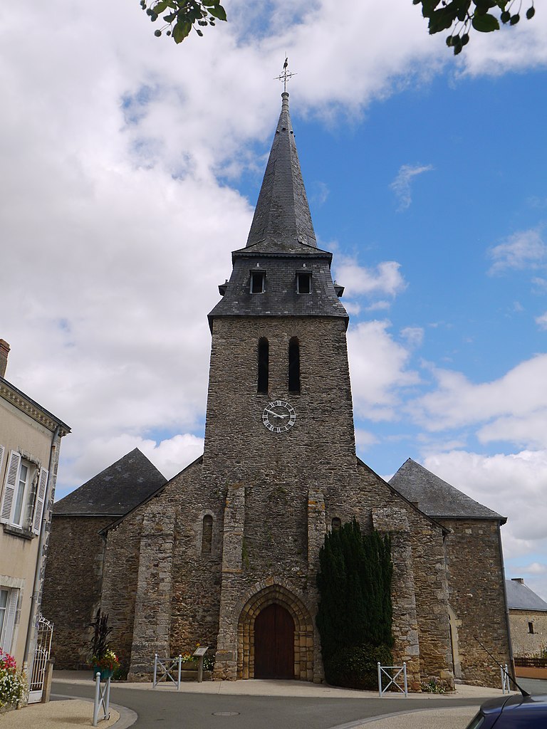
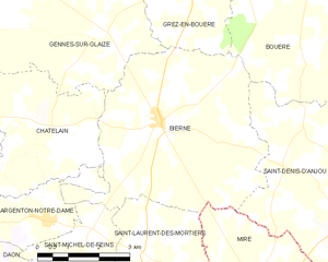
Bierné
- commune in Mayenne, France
- Country:
- Postal Code: 53290
- Coordinates: 47° 48' 38" N, 0° 32' 36" E
- GPS tracks (wikiloc): [Link]
- Area: 24.15 sq km
- Population: 681


Sœurdres
- former commune in Maine-et-Loire, France
- Country:
- Postal Code: 49330
- Coordinates: 47° 44' 17" N, 0° 34' 27" E
- GPS tracks (wikiloc): [Link]
- Area: 15.24 sq km
- Population: 387


Miré
- commune in Maine-et-Loire, France
- Country:
- Postal Code: 49330
- Coordinates: 47° 45' 29" N, 0° 29' 32" E
- GPS tracks (wikiloc): [Link]
- Area: 17.73 sq km
- Population: 1011

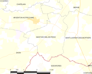
Saint-Michel-de-Feins
- commune in Mayenne, France
- Country:
- Postal Code: 53290
- Coordinates: 47° 46' 38" N, 0° 34' 10" E
- GPS tracks (wikiloc): [Link]
- Area: 6.75 sq km
- Population: 181