Saint-Malô-du-Bois (Saint-Malô-du-Bois)

- commune in Vendée, France
- Country:

- Postal Code: 85590
- Coordinates: 46° 55' 43" N, 0° 54' 2" E


- GPS tracks (wikiloc): [Link]
- Area: 14.28 sq km
- Population: 1586
- Web site: http://www.saintmalodubois.com/
- Wikipedia en: wiki(en)
- Wikipedia: wiki(fr)
- Wikidata storage: Wikidata: Q1412492
- Wikipedia Commons Category: [Link]
- Freebase ID: [/m/03qhlgn]
- SIREN number: [218502409]
- BnF ID: [15278362z]
- INSEE municipality code: 85240
Shares border with regions:

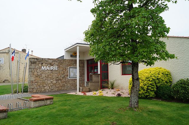
Chambretaud
- commune in Vendée, France
- Country:
- Postal Code: 85500
- Coordinates: 46° 55' 18" N, 0° 57' 53" E
- GPS tracks (wikiloc): [Link]
- Area: 16.1 sq km
- Population: 1555
- Web site: [Link]
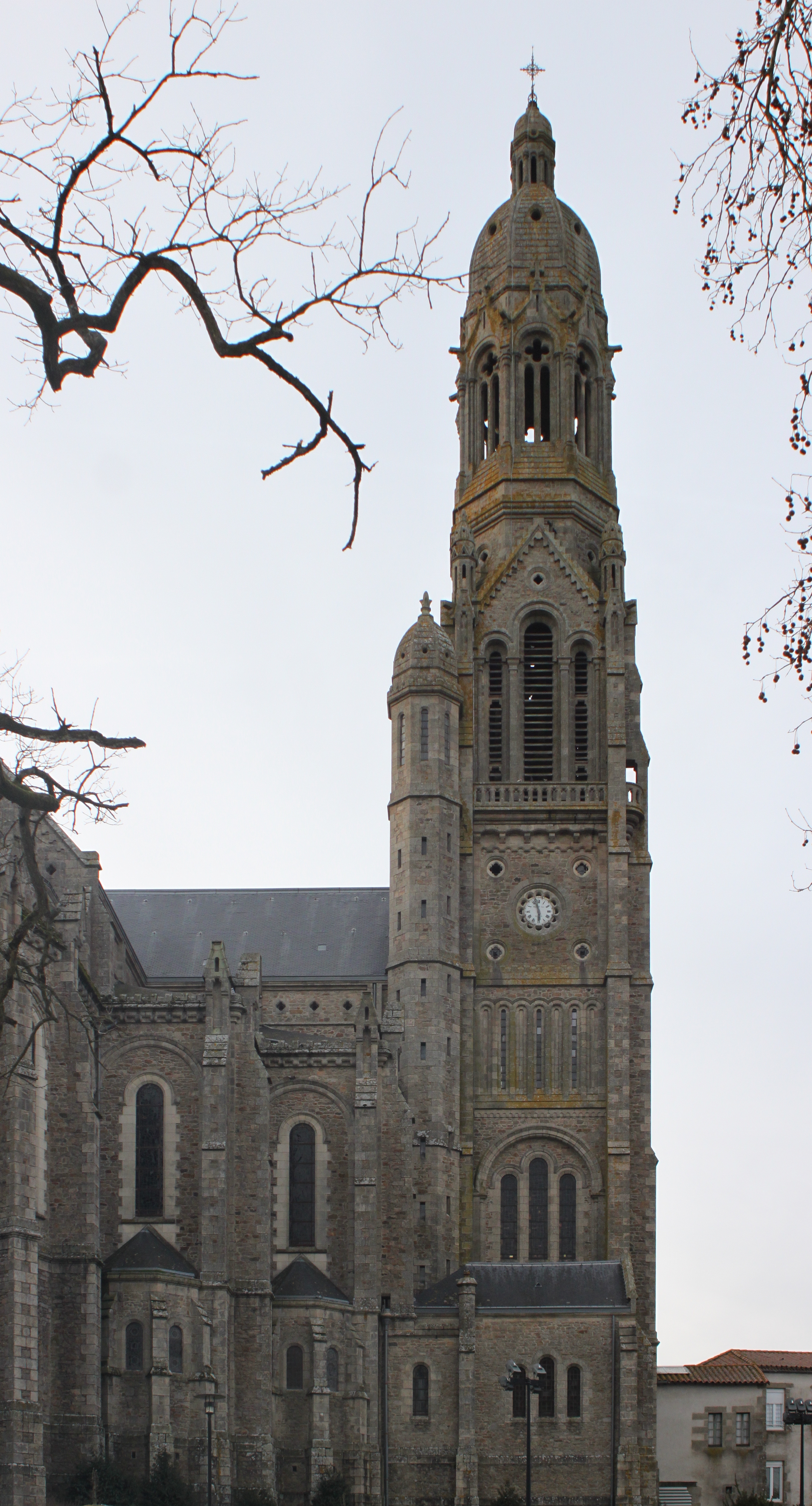

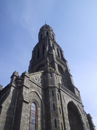
Saint-Laurent-sur-Sèvre
- commune in Vendée, France
- Country:
- Postal Code: 85290
- Coordinates: 46° 57' 31" N, 0° 53' 35" E
- GPS tracks (wikiloc): [Link]
- Area: 15.79 sq km
- Population: 3607
- Web site: [Link]


Les Epesses
- commune in Vendée, France
- Country:
- Postal Code: 85590
- Coordinates: 46° 52' 59" N, 0° 54' 2" E
- GPS tracks (wikiloc): [Link]
- Area: 31.29 sq km
- Population: 2812
- Web site: [Link]

Treize-Vents
- commune in Vendée, France
- Country:
- Postal Code: 85590
- Coordinates: 46° 55' 16" N, 0° 50' 56" E
- GPS tracks (wikiloc): [Link]
- Area: 19.12 sq km
- Population: 1263
- Web site: [Link]

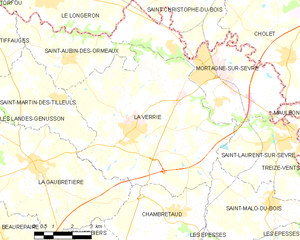
La Verrie
- commune in Vendée, France
- Country:
- Postal Code: 85130
- Coordinates: 46° 57' 40" N, 0° 59' 42" E
- GPS tracks (wikiloc): [Link]
- Area: 43.11 sq km
- Population: 3967
- Web site: [Link]