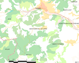
Saint-Marcel-l'Éclairé (Saint-Marcel-l'Éclairé)
- commune in Rhône, France
- Country:

- Postal Code: 69170
- Coordinates: 45° 52' 30" N, 4° 26' 3" E


- GPS tracks (wikiloc): [Link]
- Area: 11.88 sq km
- Population: 502
- Web site: http://www.saintmarcelleclaire.fr/
- Wikipedia en: wiki(en)
- Wikipedia: wiki(fr)
- Wikidata storage: Wikidata: Q1388809
- Wikipedia Commons Category: [Link]
- Freebase ID: [/m/03qgfv2]
- Freebase ID: [/m/03qgfv2]
- SIREN number: [216902254]
- SIREN number: [216902254]
- BnF ID: [152723139]
- BnF ID: [152723139]
- PACTOLS thesaurus ID: [pcrtZK8QIYaPOr]
- PACTOLS thesaurus ID: [pcrtZK8QIYaPOr]
- INSEE municipality code: 69225
- INSEE municipality code: 69225
Shares border with regions:


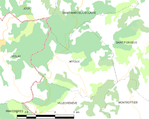
Affoux
- commune in Rhône, France
- Country:

- Postal Code: 69170
- Coordinates: 45° 50' 42" N, 4° 24' 12" E


- GPS tracks (wikiloc): [Link]
- Area: 10.65 sq km
- Population: 348
- Web site: [Link]


Joux
- commune in Rhône, France
- Country:

- Postal Code: 69170
- Coordinates: 45° 53' 14" N, 4° 22' 19" E


- GPS tracks (wikiloc): [Link]
- Area: 25.18 sq km
- Population: 682
- Web site: [Link]


Violay
- commune in Loire, France
- Country:

- Postal Code: 42780
- Coordinates: 45° 51' 11" N, 4° 21' 29" E


- GPS tracks (wikiloc): [Link]
- Area: 27.07 sq km
- Population: 1238


Tarare
- commune in Rhône, France
- Country:

- Postal Code: 69170
- Coordinates: 45° 53' 46" N, 4° 25' 59" E


- GPS tracks (wikiloc): [Link]
- Area: 13.99 sq km
- Population: 10639
- Web site: [Link]


Saint-Forgeux
- commune in Rhône, France
- Country:

- Postal Code: 69490
- Coordinates: 45° 51' 32" N, 4° 28' 29" E


- GPS tracks (wikiloc): [Link]
- Area: 22.27 sq km
- Population: 1488
- Web site: [Link]
