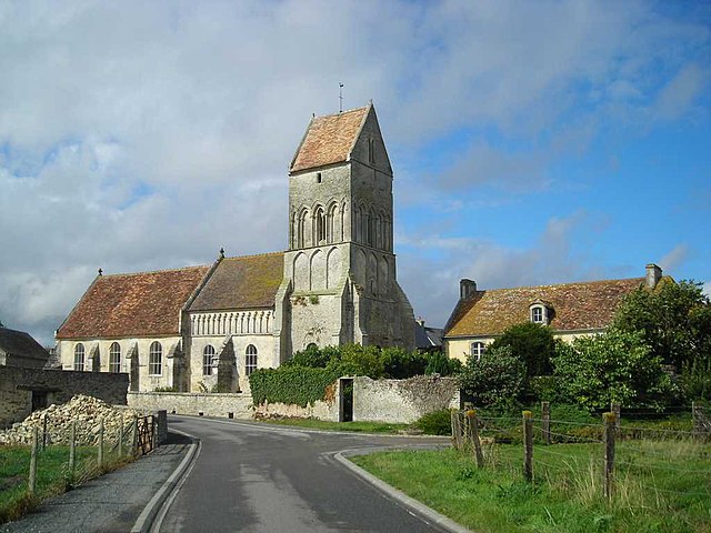
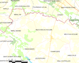
Saint-Martin-de-Mieux (Saint-Martin-de-Mieux)

- commune in Calvados, France
- Country:

- Postal Code: 14700
- Coordinates: 48° 52' 16" N, 0° 13' 46" E


- GPS tracks (wikiloc): [Link]
- Area: 10.12 sq km
- Population: 458
- Web site: http://www.stmartindemieux.fr
- Wikipedia en: wiki(en)
- Wikipedia: wiki(fr)
- Wikidata storage: Wikidata: Q875529
- Wikipedia Commons Category: [Link]
- Freebase ID: [/m/03xzfg]
- GeoNames ID: Alt: [6427470]
- SIREN number: [211406277]
- BnF ID: [15248035m]
- PACTOLS thesaurus ID: [pcrtAKNHSdyUa3]
- INSEE municipality code: 14627
Shares border with regions:


Martigny-sur-l'Ante
- commune in Calvados, France
- Country:
- Postal Code: 14700
- Coordinates: 48° 53' 6" N, 0° 17' 10" E
- GPS tracks (wikiloc): [Link]
- Area: 9.34 sq km
- Population: 311

Noron-l'Abbaye
- commune in Calvados, France
- Country:
- Postal Code: 14700
- Coordinates: 48° 53' 39" N, 0° 14' 45" E
- GPS tracks (wikiloc): [Link]
- Area: 7.62 sq km
- Population: 313
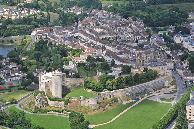

Falaise
- commune in Calvados, France
- Country:
- Postal Code: 14700
- Coordinates: 48° 53' 50" N, 0° 11' 51" E
- GPS tracks (wikiloc): [Link]
- AboveSeaLevel: 132 м m
- Area: 11.84 sq km
- Population: 8245
- Web site: [Link]

Bazoches-au-Houlme
- commune in Orne, France
- Country:
- Postal Code: 61210
- Coordinates: 48° 49' 3" N, 0° 14' 26" E
- GPS tracks (wikiloc): [Link]
- AboveSeaLevel: 183 м m
- Area: 28.64 sq km
- Population: 485


Cordey
- commune in Calvados, France
- Country:
- Postal Code: 14700
- Coordinates: 48° 51' 3" N, 0° 13' 43" E
- GPS tracks (wikiloc): [Link]
- Area: 4.52 sq km
- Population: 149


Fourneaux-le-Val
- commune in Calvados, France
- Country:
- Postal Code: 14700
- Coordinates: 48° 51' 18" N, 0° 16' 1" E
- GPS tracks (wikiloc): [Link]
- Area: 5.39 sq km
- Population: 163


Saint-Pierre-du-Bû
- commune in Calvados, France
- Country:
- Postal Code: 14700
- Coordinates: 48° 52' 5" N, 0° 13' 2" E
- GPS tracks (wikiloc): [Link]
- Area: 7.39 sq km
- Population: 481
- Web site: [Link]