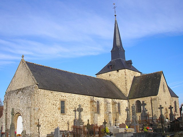
Saint-Martin-l'Aiguillon (Saint-Martin-l'Aiguillon)

- commune in Orne, France
- Country:

- Postal Code: 61320
- Coordinates: 48° 36' 58" N, 0° 10' 32" E


- GPS tracks (wikiloc): [Link]
- Area: 14.61 sq km
- Population: 198
- Wikipedia en: wiki(en)
- Wikipedia: wiki(fr)
- Wikidata storage: Wikidata: Q250686
- Wikipedia Commons Category: [Link]
- Freebase ID: [/m/03x_y8d]
- Freebase ID: [/m/03x_y8d]
- SIREN number: [216104273]
- SIREN number: [216104273]
- BnF ID: [152683575]
- BnF ID: [152683575]
- INSEE municipality code: 61427
- INSEE municipality code: 61427
Shares border with regions:
Le Champ-de-la-Pierre
- commune in Orne, France
- Country:
- Postal Code: 61320
- Coordinates: 48° 36' 31" N, 0° 12' 19" E
- GPS tracks (wikiloc): [Link]
- Area: 4.05 sq km
- Population: 44


Rânes
- commune in Orne, France
- Country:
- Postal Code: 61150
- Coordinates: 48° 38' 26" N, 0° 12' 39" E
- GPS tracks (wikiloc): [Link]
- Area: 34.18 sq km
- Population: 1058
- Web site: [Link]


Joué-du-Bois
- commune in Orne, France
- Country:
- Postal Code: 61320
- Coordinates: 48° 34' 54" N, 0° 13' 55" E
- GPS tracks (wikiloc): [Link]
- Area: 21.08 sq km
- Population: 421


Carrouges
- commune in Orne, France
- Country:
- Postal Code: 61320
- Coordinates: 48° 34' 3" N, 0° 8' 44" E
- GPS tracks (wikiloc): [Link]
- Area: 8.58 sq km
- Population: 678
- Web site: [Link]

Sainte-Marguerite-de-Carrouges
- commune in Orne, France
- Country:
- Postal Code: 61320
- Coordinates: 48° 35' 3" N, 0° 9' 15" E
- GPS tracks (wikiloc): [Link]
- Area: 8.69 sq km
- Population: 226
Vieux-Pont
- commune in Orne, France
- Country:
- Postal Code: 61150
- Coordinates: 48° 39' 2" N, 0° 8' 41" E
- GPS tracks (wikiloc): [Link]
- AboveSeaLevel: 185 м m
- Area: 9.67 sq km
- Population: 201


Sainte-Marie-la-Robert
- commune in Orne, France
- Country:
- Postal Code: 61320
- Coordinates: 48° 37' 24" N, 0° 9' 24" E
- GPS tracks (wikiloc): [Link]
- Area: 5.45 sq km
- Population: 84