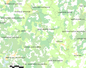
Saint-Merd-de-Lapleau (Saint-Merd-de-Lapleau)

- commune in Corrèze, France
- Country:

- Postal Code: 19320
- Coordinates: 45° 15' 25" N, 2° 4' 54" E


- GPS tracks (wikiloc): [Link]
- Area: 24.5 sq km
- Population: 191
- Wikipedia en: wiki(en)
- Wikipedia: wiki(fr)
- Wikidata storage: Wikidata: Q668154
- Wikipedia Commons Category: [Link]
- Freebase ID: [/m/03mf_yx]
- GeoNames ID: Alt: [6428447]
- SIREN number: [211922505]
- BnF ID: [15249861m]
- PACTOLS thesaurus ID: [pcrthuOII3NU8L]
- INSEE municipality code: 19225
Shares border with regions:


Bassignac-le-Haut
- commune in Corrèze, France
- Country:
- Postal Code: 19220
- Coordinates: 45° 12' 41" N, 2° 4' 18" E
- GPS tracks (wikiloc): [Link]
- Area: 18.37 sq km
- Population: 189
- Web site: [Link]


Lafage-sur-Sombre
- commune in Corrèze, France
- Country:
- Postal Code: 19320
- Coordinates: 45° 17' 44" N, 2° 4' 18" E
- GPS tracks (wikiloc): [Link]
- Area: 18.94 sq km
- Population: 120

Saint-Hilaire-Foissac
- commune in Corrèze, France
- Country:
- Postal Code: 19550
- Coordinates: 45° 19' 51" N, 2° 7' 30" E
- GPS tracks (wikiloc): [Link]
- Area: 36.92 sq km
- Population: 200


Marcillac-la-Croisille
- commune in Corrèze, France
- Country:
- Postal Code: 19320
- Coordinates: 45° 16' 21" N, 2° 1' 46" E
- GPS tracks (wikiloc): [Link]
- Area: 38.69 sq km
- Population: 816
- Web site: [Link]

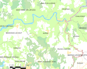
Auriac
- commune in Corrèze, France
- Country:
- Postal Code: 19220
- Coordinates: 45° 12' 14" N, 2° 8' 53" E
- GPS tracks (wikiloc): [Link]
- Area: 34.89 sq km
- Population: 234
- Web site: [Link]

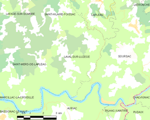
Laval-sur-Luzège
- commune in Corrèze, France
- Country:
- Postal Code: 19550
- Coordinates: 45° 16' 1" N, 2° 8' 2" E
- GPS tracks (wikiloc): [Link]
- Area: 16.94 sq km
- Population: 101