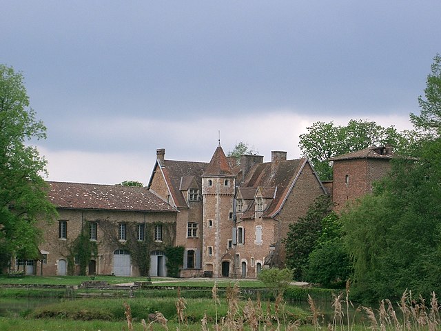
Saint-Nizier-le-Désert (Saint-Nizier-le-Désert)
- commune in Ain, France
- Country:

- Postal Code: 01320
- Coordinates: 46° 3' 21" N, 5° 8' 54" E


- GPS tracks (wikiloc): [Link]
- Area: 24.96 sq km
- Population: 912
- Web site: https://saintnizierledesert.jimdo.com
- Wikipedia en: wiki(en)
- Wikipedia: wiki(fr)
- Wikidata storage: Wikidata: Q853549
- Wikipedia Commons Category: [Link]
- Wikipedia Commons Maps Category: [Link]
- Freebase ID: [/m/081rfw]
- Freebase ID: [/m/081rfw]
- GeoNames ID: Alt: [2977858]
- GeoNames ID: Alt: [2977858]
- SIREN number: [210103818]
- SIREN number: [210103818]
- INSEE municipality code: 01381
- INSEE municipality code: 01381
Shares border with regions:

Chalamont
- commune in Ain, France
- Country:
- Postal Code: 01320
- Coordinates: 45° 59' 46" N, 5° 10' 16" E
- GPS tracks (wikiloc): [Link]
- Area: 32.88 sq km
- Population: 2407
- Web site: [Link]
Saint-Paul-de-Varax
- commune in Ain, France
- Country:
- Postal Code: 01240
- Coordinates: 46° 5' 56" N, 5° 7' 42" E
- GPS tracks (wikiloc): [Link]
- Area: 25.97 sq km
- Population: 1476
- Web site: [Link]

Lent
- commune in Ain, France
- Country:
- Postal Code: 01240
- Coordinates: 46° 7' 10" N, 5° 11' 45" E
- GPS tracks (wikiloc): [Link]
- Area: 31.48 sq km
- Population: 1427
- Web site: [Link]

Châtenay
- commune in Ain, France
- Country:
- Postal Code: 01320
- Coordinates: 46° 2' 0" N, 5° 12' 6" E
- GPS tracks (wikiloc): [Link]
- Area: 14.95 sq km
- Population: 334

Dompierre-sur-Veyle
- commune in Ain, France
- Country:
- Postal Code: 01240
- Coordinates: 46° 4' 16" N, 5° 12' 17" E
- GPS tracks (wikiloc): [Link]
- Area: 29.1 sq km
- Population: 1161
- Web site: [Link]

Marlieux
- commune in Ain, France
- Country:
- Postal Code: 01240
- Coordinates: 46° 3' 53" N, 5° 4' 22" E
- GPS tracks (wikiloc): [Link]
- Area: 16.85 sq km
- Population: 1070
- Web site: [Link]

Le Plantay
- commune in Ain, France
- Country:
- Postal Code: 01330
- Coordinates: 46° 1' 23" N, 5° 5' 20" E
- GPS tracks (wikiloc): [Link]
- Area: 19.96 sq km
- Population: 541
- Web site: [Link]