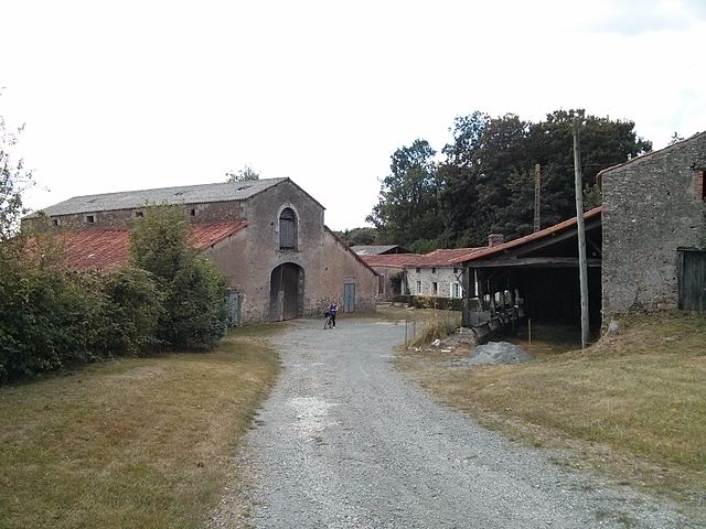
Saint-Paul-en-Gâtine (Saint-Paul-en-Gâtine)
- commune in Deux-Sèvres, France
- Country:

- Postal Code: 79240
- Coordinates: 46° 37' 58" N, 0° 36' 59" E


- GPS tracks (wikiloc): [Link]
- Area: 15.39 sq km
- Population: 452
- Wikipedia en: wiki(en)
- Wikipedia: wiki(fr)
- Wikidata storage: Wikidata: Q1348863
- Wikipedia Commons Category: [Link]
- Freebase ID: [/m/03m4ynt]
- GeoNames ID: Alt: [6444224]
- SIREN number: [217902865]
- BnF ID: [15276420t]
- INSEE municipality code: 79286
Shares border with regions:


L'Absie
- commune in Deux-Sèvres, France
- Country:

- Postal Code: 79240
- Coordinates: 46° 37' 56" N, 0° 34' 37" E


- GPS tracks (wikiloc): [Link]
- Area: 13.02 sq km
- Population: 947
- Web site: [Link]


La Chapelle-aux-Lys
- commune in Vendée, France
- Country:

- Postal Code: 85120
- Coordinates: 46° 37' 44" N, 0° 39' 28" E


- GPS tracks (wikiloc): [Link]
- Area: 10.56 sq km
- Population: 251


Breuil-Barret
- commune in Vendée, France
- Country:

- Postal Code: 85120
- Coordinates: 46° 39' 10" N, 0° 40' 56" E


- GPS tracks (wikiloc): [Link]
- Area: 14.74 sq km
- Population: 653
- Web site: [Link]
La Chapelle-Saint-Étienne
- commune in Deux-Sèvres, France
- Country:

- Postal Code: 79240
- Coordinates: 46° 40' 59" N, 0° 34' 31" E


- GPS tracks (wikiloc): [Link]
- Area: 18.81 sq km
- Population: 321


Le Busseau
- commune in Deux-Sèvres, France
- Country:

- Postal Code: 79240
- Coordinates: 46° 34' 46" N, 0° 35' 43" E


- GPS tracks (wikiloc): [Link]
- Area: 27.65 sq km
- Population: 734
Scillé
- commune in Deux-Sèvres, France
- Country:

- Postal Code: 79240
- Coordinates: 46° 35' 59" N, 0° 33' 31" E


- GPS tracks (wikiloc): [Link]
- Area: 11.43 sq km
- Population: 371
Moutiers-sous-Chantemerle
- commune in Deux-Sèvres, France
- Country:

- Postal Code: 79320
- Coordinates: 46° 41' 44" N, 0° 37' 6" E


- GPS tracks (wikiloc): [Link]
- Area: 25.64 sq km
- Population: 608
