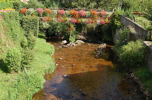
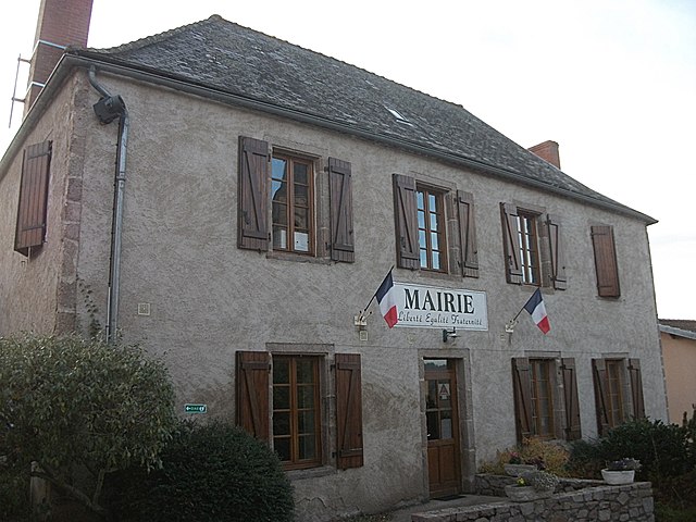
Saint-Pierre-Laval (Saint-Pierre-Laval)
- commune in Allier, France
- Country:

- Postal Code: 42620
- Coordinates: 46° 12' 6" N, 3° 46' 47" E


- GPS tracks (wikiloc): [Link]
- Area: 24.03 sq km
- Population: 373
- Wikipedia en: wiki(en)
- Wikipedia: wiki(fr)
- Wikidata storage: Wikidata: Q867908
- Wikipedia Commons Category: [Link]
- Freebase ID: [/m/03m7t_h]
- Freebase ID: [/m/03m7t_h]
- GeoNames ID: Alt: [6612230]
- GeoNames ID: Alt: [6612230]
- SIREN number: [210302501]
- SIREN number: [210302501]
- VIAF ID: Alt: [156242257]
- VIAF ID: Alt: [156242257]
- Library of Congress authority ID: Alt: [no96060173]
- Library of Congress authority ID: Alt: [no96060173]
- INSEE municipality code: 03250
- INSEE municipality code: 03250
Shares border with regions:


Saint-Martin-d'Estréaux
- commune in Loire, France
- Country:

- Postal Code: 42620
- Coordinates: 46° 12' 22" N, 3° 47' 55" E


- GPS tracks (wikiloc): [Link]
- Area: 29.6 sq km
- Population: 858
- Web site: [Link]


Saint-Bonnet-des-Quarts
- commune in Loire, France
- Country:

- Postal Code: 42310
- Coordinates: 46° 7' 54" N, 3° 50' 35" E


- GPS tracks (wikiloc): [Link]
- Area: 32.45 sq km
- Population: 340


Andelaroche
- commune in Allier, France
- Country:

- Postal Code: 03120
- Coordinates: 46° 15' 20" N, 3° 44' 57" E


- GPS tracks (wikiloc): [Link]
- Area: 20.28 sq km
- Population: 260

Droiturier
- commune in Allier, France
- Country:

- Postal Code: 03120
- Coordinates: 46° 13' 51" N, 3° 43' 6" E


- GPS tracks (wikiloc): [Link]
- Area: 22.07 sq km
- Population: 331


Arfeuilles
- commune in Allier, France
- Country:

- Postal Code: 03120
- Coordinates: 46° 9' 22" N, 3° 43' 39" E


- GPS tracks (wikiloc): [Link]
- Area: 59.56 sq km
- Population: 673
- Web site: [Link]

Châtelus
- commune in Allier, France
- Country:

- Postal Code: 03120
- Coordinates: 46° 11' 35" N, 3° 44' 2" E


- GPS tracks (wikiloc): [Link]
- AboveSeaLevel: 360 м m
- Area: 6.64 sq km
- Population: 115
