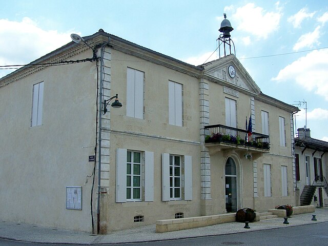
Saint-Pierre-d'Aurillac (Saint-Pierre-d'Aurillac)

- commune in Gironde, France
- Country:

- Postal Code: 33490
- Coordinates: 44° 34' 19" N, 0° 11' 30" E


- GPS tracks (wikiloc): [Link]
- Area: 6.52 sq km
- Population: 1338
- Web site: http://st-pierre-daurillac.fr
- Wikipedia en: wiki(en)
- Wikipedia: wiki(fr)
- Wikidata storage: Wikidata: Q1007402
- Wikipedia Commons Category: [Link]
- Freebase ID: [/m/03ns1xm]
- SIREN number: [213304637]
- BnF ID: [15256511q]
- VIAF ID: Alt: [304682572]
- INSEE municipality code: 33463
Shares border with regions:


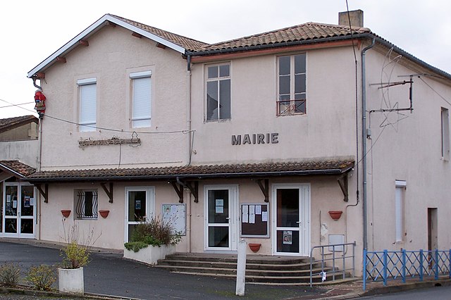
Saint-Martin-de-Sescas
- commune in Gironde, France
- Country:
- Postal Code: 33490
- Coordinates: 44° 34' 30" N, 0° 9' 45" E
- GPS tracks (wikiloc): [Link]
- Area: 8.19 sq km
- Population: 618


Le Pian-sur-Garonne
- commune in Gironde, France
- Country:
- Postal Code: 33490
- Coordinates: 44° 35' 9" N, 0° 12' 43" E
- GPS tracks (wikiloc): [Link]
- Area: 6.35 sq km
- Population: 833

Castets-en-Dorthe
- former French commune of the department of Gironde, France
- Country:
- Postal Code: 33210
- Coordinates: 44° 33' 42" N, 0° 9' 11" E
- GPS tracks (wikiloc): [Link]
- Area: 8.69 sq km
- Population: 1164
- Web site: [Link]

Saint-André-du-Bois
- commune in Gironde, France
- Country:
- Postal Code: 33490
- Coordinates: 44° 36' 18" N, 0° 10' 59" E
- GPS tracks (wikiloc): [Link]
- Area: 10 sq km
- Population: 428
- Web site: [Link]


Saint-Pardon-de-Conques
- commune in Gironde, France
- Country:
- Postal Code: 33210
- Coordinates: 44° 33' 15" N, 0° 10' 52" E
- GPS tracks (wikiloc): [Link]
- Area: 6.68 sq km
- Population: 573
- Web site: [Link]