arrondissement of Langon (arrondissement de Langon)

- arrondissement of France
- Country:

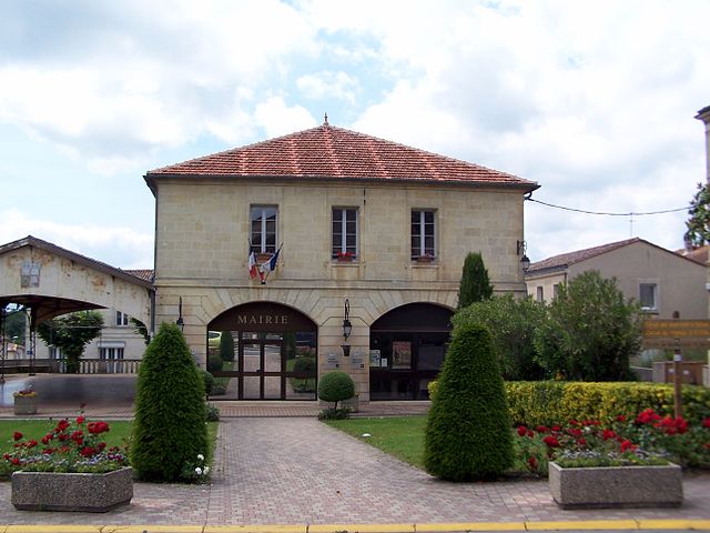
- Capital: Langon
- Coordinates: 44° 30' 0" N, 0° 20' 0" E


- GPS tracks (wikiloc): [Link]
- Population: 131742
- Wikipedia en: wiki(en)
- Wikipedia: wiki(fr)
- Wikidata storage: Wikidata: Q701386
- Freebase ID: [/m/095g8z]
- GeoNames ID: Alt: [3007688]
- INSEE arrondissement code: [333]
- GNS Unique Feature ID: -1437702
Includes regions:


canton of Villandraut
- canton of France (until March 2015)
- Country:
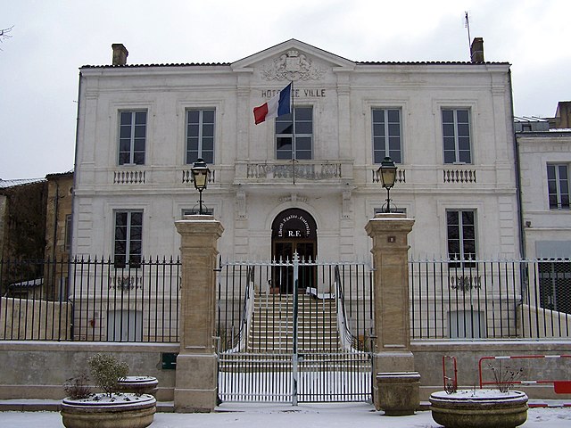
- Capital: Villandraut
- Coordinates: 44° 24' 18" N, 0° 21' 17" E
- GPS tracks (wikiloc): [Link]


canton of Sauveterre-de-Guyenne
- canton in France
- Country:
- Capital: Sauveterre-de-Guyenne
- Coordinates: 44° 41' 50" N, 0° 6' 33" E
- GPS tracks (wikiloc): [Link]

canton of Saint-Symphorien
- Canton in France
- Country:
- Capital: Saint-Symphorien
- Coordinates: 44° 27' 23" N, 0° 26' 25" E
- GPS tracks (wikiloc): [Link]

canton of Saint-Macaire
- canton in France
- Country:
- Capital: Saint-Macaire
- Coordinates: 44° 36' 2" N, 0° 11' 21" E
- GPS tracks (wikiloc): [Link]