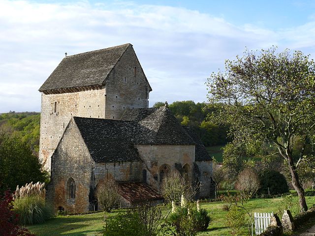
Saint-Pompont (Saint-Pompont)
- commune in Dordogne, France
- Country:

- Postal Code: 24170
- Coordinates: 44° 43' 35" N, 1° 8' 49" E


- GPS tracks (wikiloc): [Link]
- Area: 27.4 sq km
- Population: 417
- Wikipedia en: wiki(en)
- Wikipedia: wiki(fr)
- Wikidata storage: Wikidata: Q1076839
- Wikipedia Commons Category: [Link]
- Freebase ID: [/m/03mg9rd]
- Freebase ID: [/m/03mg9rd]
- GeoNames ID: Alt: [2977384]
- GeoNames ID: Alt: [2977384]
- SIREN number: [212404883]
- SIREN number: [212404883]
- BnF ID: [152521318]
- BnF ID: [152521318]
- VIAF ID: Alt: [242292502]
- VIAF ID: Alt: [242292502]
- GND ID: Alt: [4583357-6]
- GND ID: Alt: [4583357-6]
- PACTOLS thesaurus ID: [pcrtZiaYtyFrKK]
- PACTOLS thesaurus ID: [pcrtZiaYtyFrKK]
- SUDOC authorities ID: [180631543]
- SUDOC authorities ID: [180631543]
- INSEE municipality code: 24488
- INSEE municipality code: 24488
Shares border with regions:


Daglan
- commune in Dordogne, France
- Country:

- Postal Code: 24250
- Coordinates: 44° 44' 31" N, 1° 11' 35" E


- GPS tracks (wikiloc): [Link]
- Area: 19.96 sq km
- Population: 560
- Web site: [Link]


Besse
- commune in Dordogne, France
- Country:

- Postal Code: 24550
- Coordinates: 44° 40' 8" N, 1° 6' 22" E


- GPS tracks (wikiloc): [Link]
- Area: 16.2 sq km
- Population: 155
- Web site: [Link]
