Saint-Rémy (Saint-Rémy)

- commune in Deux-Sèvres, France
- Country:

- Postal Code: 79410
- Coordinates: 46° 22' 13" N, 0° 31' 36" E


- GPS tracks (wikiloc): [Link]
- Area: 13.64 sq km
- Population: 1069
- Web site: http://www.st-remy.fr
- Wikipedia en: wiki(en)
- Wikipedia: wiki(fr)
- Wikidata storage: Wikidata: Q1148961
- Wikipedia Commons Category: [Link]
- Freebase ID: [/m/03mg48s]
- GeoNames ID: Alt: [6454747]
- SIREN number: [217902931]
- BnF ID: [15276425j]
- INSEE municipality code: 79293
Shares border with regions:


Sciecq
- commune in Deux-Sèvres, France
- Country:
- Postal Code: 79000
- Coordinates: 46° 22' 24" N, 0° 28' 15" E
- GPS tracks (wikiloc): [Link]
- Area: 4.33 sq km
- Population: 635
- Web site: [Link]


Coulon
- commune in Deux-Sèvres, France
- Country:
- Postal Code: 79510
- Coordinates: 46° 19' 24" N, 0° 35' 6" E
- GPS tracks (wikiloc): [Link]
- Area: 29.79 sq km
- Population: 2249
- Web site: [Link]
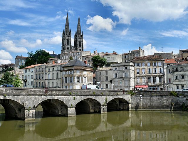

Niort
- commune in Deux-Sèvres, France
- Country:
- Postal Code: 79000
- Coordinates: 46° 19' 30" N, 0° 27' 44" E
- GPS tracks (wikiloc): [Link]
- AboveSeaLevel: 28 м m
- Area: 68.2 sq km
- Population: 58952
- Web site: [Link]


Villiers-en-Plaine
- commune in Deux-Sèvres, France
- Country:
- Postal Code: 79160
- Coordinates: 46° 24' 31" N, 0° 32' 14" E
- GPS tracks (wikiloc): [Link]
- Area: 27.89 sq km
- Population: 1765


Benet
- commune in Vendée, France
- Country:
- Postal Code: 85490
- Coordinates: 46° 22' 3" N, 0° 35' 50" E
- GPS tracks (wikiloc): [Link]
- Area: 50.01 sq km
- Population: 4007
- Web site: [Link]


Saint-Maxire
- commune in Deux-Sèvres, France
- Country:
- Postal Code: 79410
- Coordinates: 46° 23' 58" N, 0° 28' 42" E
- GPS tracks (wikiloc): [Link]
- Area: 14.41 sq km
- Population: 1272