
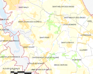
Saint-Suliac (Saint-Suliac)

- commune in Ille-et-Vilaine, France
- Country:

- Postal Code: 35430
- Coordinates: 48° 34' 12" N, 1° 58' 21" E


- GPS tracks (wikiloc): [Link]
- Area: 5.46 sq km
- Population: 925
- Web site: http://www.saint-suliac.fr
- Wikipedia en: wiki(en)
- Wikipedia: wiki(fr)
- Wikidata storage: Wikidata: Q193562
- Wikipedia Commons Category: [Link]
- Freebase ID: [/m/03mf06b]
- Freebase ID: [/m/03mf06b]
- Freebase ID: [/m/03mf06b]
- GeoNames ID: Alt: [2976880]
- GeoNames ID: Alt: [2976880]
- GeoNames ID: Alt: [2976880]
- SIREN number: [213503147]
- SIREN number: [213503147]
- SIREN number: [213503147]
- BnF ID: [15257255r]
- BnF ID: [15257255r]
- BnF ID: [15257255r]
- VIAF ID: Alt: [153884830]
- VIAF ID: Alt: [153884830]
- VIAF ID: Alt: [153884830]
- OSM relation ID: [906707]
- OSM relation ID: [906707]
- OSM relation ID: [906707]
- GND ID: Alt: [4395913-1]
- GND ID: Alt: [4395913-1]
- GND ID: Alt: [4395913-1]
- Library of Congress authority ID: Alt: [no89011889]
- Library of Congress authority ID: Alt: [no89011889]
- Library of Congress authority ID: Alt: [no89011889]
- PACTOLS thesaurus ID: [pcrtf42nh9UBbt]
- PACTOLS thesaurus ID: [pcrtf42nh9UBbt]
- PACTOLS thesaurus ID: [pcrtf42nh9UBbt]
- INSEE municipality code: 35314
- INSEE municipality code: 35314
- INSEE municipality code: 35314
Shares border with regions:

Saint-Père
- commune in Ille-et-Vilaine, France
- Country:
- Postal Code: 35430
- Coordinates: 48° 35' 16" N, 1° 55' 26" E
- GPS tracks (wikiloc): [Link]
- Area: 19.74 sq km
- Population: 2274
- Web site: [Link]

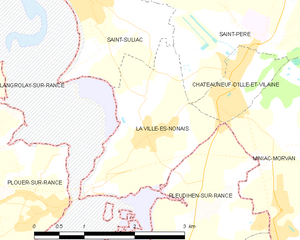
La Ville-ès-Nonais
- commune in Ille-et-Vilaine, France
- Country:
- Postal Code: 35430
- Coordinates: 48° 32' 52" N, 1° 57' 12" E
- GPS tracks (wikiloc): [Link]
- Area: 4.34 sq km
- Population: 1166


Saint-Jouan-des-Guérets
- commune in Ille-et-Vilaine, France
- Country:
- Postal Code: 35430
- Coordinates: 48° 35' 55" N, 1° 58' 23" E
- GPS tracks (wikiloc): [Link]
- Area: 9.24 sq km
- Population: 2585
- Web site: [Link]