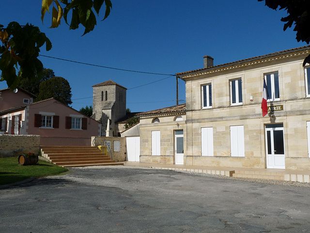
Saint-Trojan (Saint-Trojan)

- commune in Gironde, France
- Country:

- Postal Code: 33710
- Coordinates: 45° 5' 16" N, 0° 34' 49" E


- GPS tracks (wikiloc): [Link]
- Area: 3.05 sq km
- Population: 340
- Wikipedia en: wiki(en)
- Wikipedia: wiki(fr)
- Wikidata storage: Wikidata: Q194237
- Wikipedia Commons Category: [Link]
- Freebase ID: [/m/03ns25b]
- GeoNames ID: Alt: [6432458]
- SIREN number: [213304868]
- BnF ID: [152565331]
- INSEE municipality code: 33486
Shares border with regions:


Mombrier
- commune in Gironde, France
- Country:
- Postal Code: 33710
- Coordinates: 45° 4' 44" N, 0° 33' 13" E
- GPS tracks (wikiloc): [Link]
- Area: 4.25 sq km
- Population: 409


Berson
- commune in Gironde, France
- Country:
- Postal Code: 33390
- Coordinates: 45° 6' 29" N, 0° 35' 12" E
- GPS tracks (wikiloc): [Link]
- Area: 17.98 sq km
- Population: 1786
- Web site: [Link]

Teuillac
- commune in Gironde, France
- Country:
- Postal Code: 33710
- Coordinates: 45° 5' 33" N, 0° 32' 52" E
- GPS tracks (wikiloc): [Link]
- Area: 7.15 sq km
- Population: 900
- Web site: [Link]


Samonac
- commune in Gironde, France
- Country:
- Postal Code: 33710
- Coordinates: 45° 4' 26" N, 0° 34' 10" E
- GPS tracks (wikiloc): [Link]
- Area: 3.9 sq km
- Population: 437


Saint-Ciers-de-Canesse
- commune in Gironde, France
- Country:
- Postal Code: 33710
- Coordinates: 45° 5' 1" N, 0° 36' 33" E
- GPS tracks (wikiloc): [Link]
- Area: 6.8 sq km
- Population: 807